Transport Functions
Rail
Road
Hub Profile
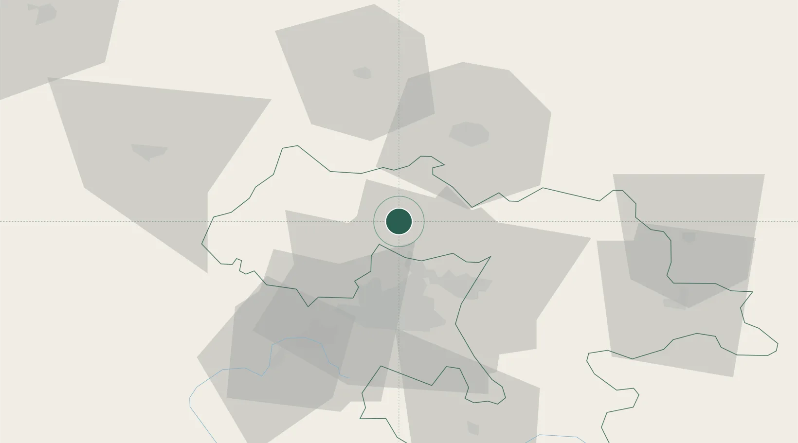
Place type
Populated place
Region
Sofia
Population
8,964
Time zone
Europe/Sofia
Elevation
455 m
Location
Nearby Logistics Neighbours
Ports
- 1Kavala243 km
- 2Thessaloniki262 km
- 3Lagos265 km
- 4Stratoni276 km
- 5Yerakini300 km
Airports
- 1Sofia Airport31 km
- 2Dolna Mitropoliya Air Base109 km
- 3Niš Constantine the Great Airport127 km
- 4Graf Ignatievo Air Base136 km
- 5Craiova International Airport157 km
Trade Zones
- 1Dragoman Free Economic Zone33 km
- 2Pirot Free Zone66 km
- 3Vidin Free Trade Zone96 km
- 4TIDZ Delčevo119 km
- 5Vranje Free Zone125 km
DatabookThe Record of Consolidated Knowledge
Bulgaria beyond logistics?