Transport Functions
Multimodal
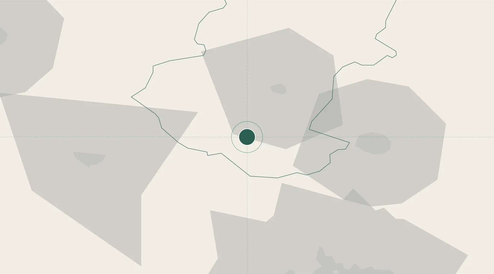
Hub Profile
Place type
Populated place
Region
Vratsa
Population
11,975
Time zone
Europe/Sofia
Elevation
277 m
Location
Nearby Logistics Neighbours
Cities
- 1Svoge36 km
- 2Dimitrovgrad40 km
- 3Pirot45 km
- 4Novi Isar53 km
- 5Bankya58 km
Ports
- 1Kavala279 km
- 2Thessaloniki291 km
- 3Lagos300 km
- 4Stratoni310 km
- 5Shengjin329 km
Airports
- 1Sofia Airport66 km
- 2Niš Constantine the Great Airport103 km
- 3Dolna Mitropoliya Air Base114 km
- 4Craiova International Airport134 km
- 5Graf Ignatievo Air Base169 km
Trade Zones
- 1Dragoman Free Economic Zone40 km
- 2Pirot Free Zone44 km
- 3Vidin Free Trade Zone62 km
- 4Vranje Free Zone126 km
- 5TIDZ Rankovce141 km
DatabookThe Record of Consolidated Knowledge
Bulgaria beyond logistics?