Transport Functions
Rail
Airport
Postal
Hub Profile
Place type
National capital
Region
Sofia-Capital
Population
1,152,556
Time zone
Europe/Sofia
Elevation
562 m
Logistics facilities
5
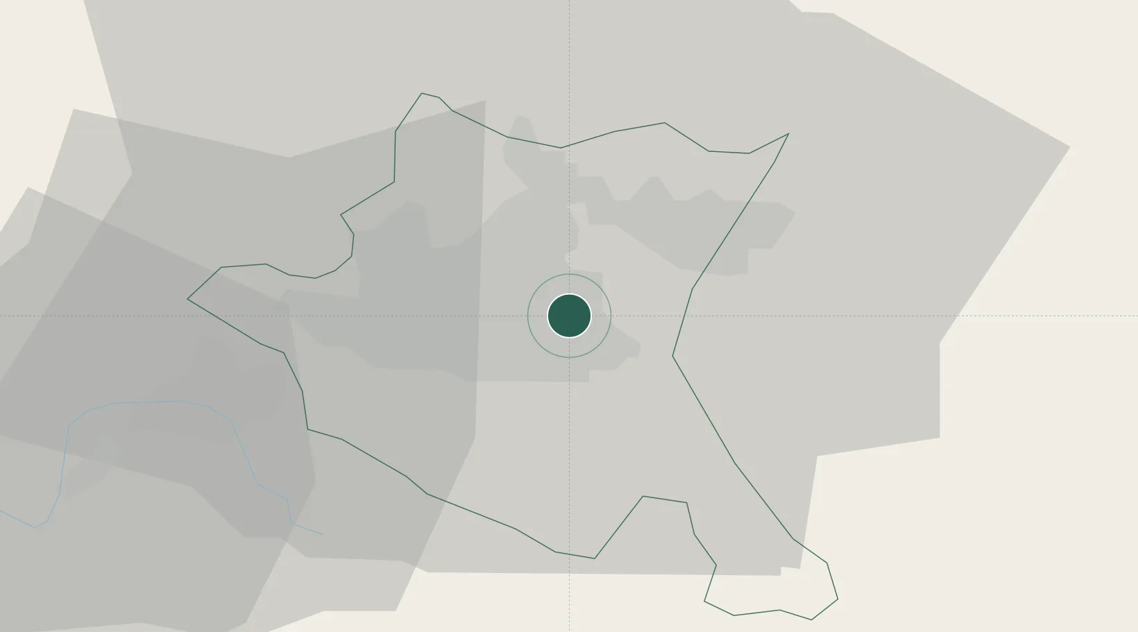
Location
Nearby Logistics Neighbours
Cities
- 1Gorublyane7 km
- 2Chepintsi8 km
- 3Novi Isar13 km
- 4Bankya23 km
- 5Svoge31 km
Ports
- 1Kavala212 km
- 2Thessaloniki233 km
- 3Lagos237 km
- 4Stratoni245 km
- 5Yerakini270 km
Airports
- 1Sofia Airport1 km
- 2Graf Ignatievo Air Base116 km
- 3Dolna Mitropoliya Air Base122 km
- 4Plovdiv International Airport137 km
- 5Niš Constantine the Great Airport145 km
Trade Zones
- 1Dragoman Free Economic Zone46 km
- 2Pirot Free Zone86 km
- 3TIDZ Delčevo95 km
- 4Plovdiv Free Zone107 km
- 5TIDZ Rankovce115 km
DatabookThe Record of Consolidated Knowledge
Bulgaria beyond logistics?