Transport Functions
Rail
Road
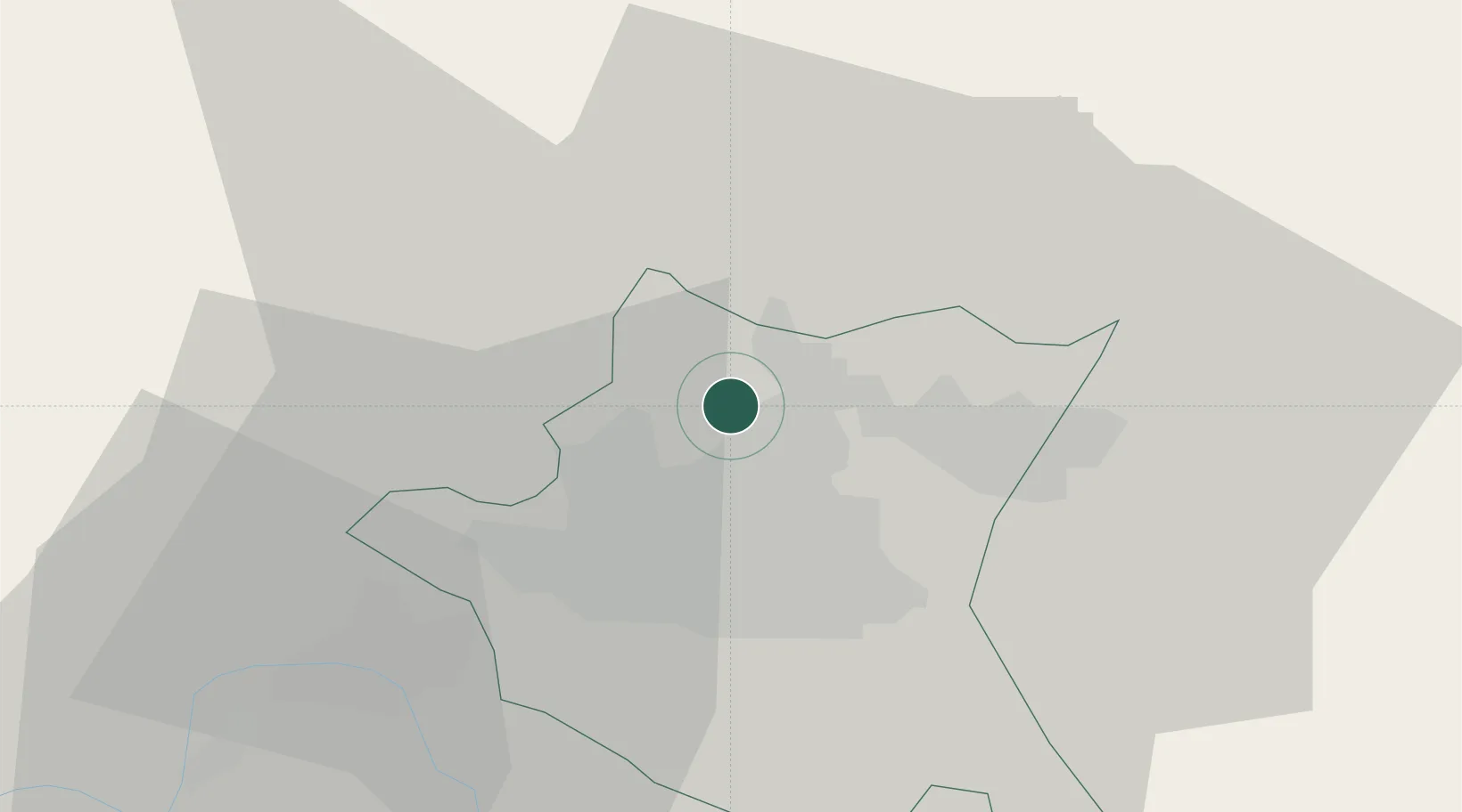
Location
Nearby Logistics Neighbours
Cities
- 1Chepintsi9 km
- 2Sofia13 km
- 3Svoge19 km
- 4Gorublyane19 km
- 5Bankya20 km
Ports
- 1Kavala226 km
- 2Thessaloniki243 km
- 3Lagos250 km
- 4Stratoni257 km
- 5Yerakini282 km
Airports
- 1Sofia Airport13 km
- 2Dolna Mitropoliya Air Base119 km
- 3Graf Ignatievo Air Base127 km
- 4Niš Constantine the Great Airport134 km
- 5Plovdiv International Airport149 km
Trade Zones
- 1Dragoman Free Economic Zone35 km
- 2Pirot Free Zone74 km
- 3TIDZ Delčevo102 km
- 4Vidin Free Trade Zone111 km
- 5TIDZ Rankovce116 km
DatabookThe Record of Consolidated Knowledge
Bulgaria beyond logistics?