Free Trade Zone · Serbia

Vranje Free Zone Active
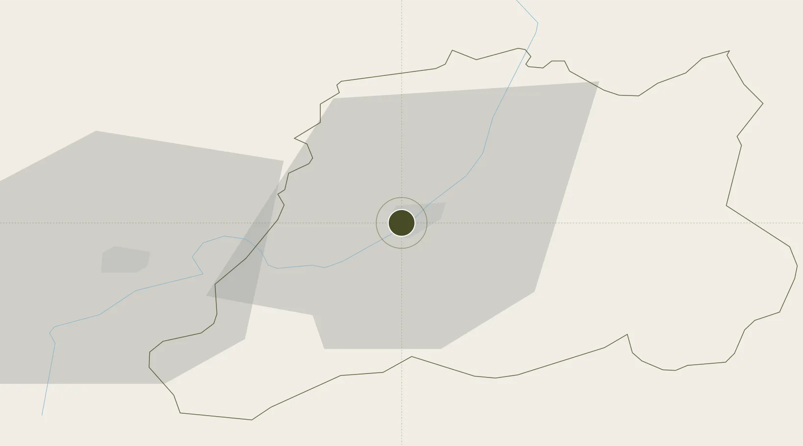
42.5456°, 21.9132°
123 ha
Zone area
207.1 km
Nearest port
69.6 km
Nearest airport

Gateway access

Nearest neighbours — logibook spatial index (haversine) over the source coordinates

Zone profile

Zone type
Free Trade Zone
Open Zone Map
Region
Pcinjski
Open Zone Map
Status
Active
Open Zone Map
Management
Public-Private Partnership
Open Zone Map
Operator
Slobodna Zona Vranje D.O.O.
Open Zone Map
Legal framework
Free Zone Law 62/2006
Open Zone Map

Location

Location of ozm-4121
Natural Earth 10m (public domain) · Pcinjski · ozm-4121 · 42.55, 21.91GoogleOSMYandex

Nearby Logistics Neighbours

Ports
  1. 1Shengjin207 km
  2. 2Thessaloniki229 km
  3. 3Bar238 km
  4. 4Porto Romano244 km
  5. 5Durres245 km
Nearest neighbours — logibook spatial index (haversine) over the source coordinates
Airports
  1. 1Skopje International Airport70 km
  2. 2Priština Adem Jashari International Airport72 km
  3. 3Niš Constantine the Great Airport88 km
  4. 4Sofia Airport124 km
  5. 5Kukës International Airport136 km
Nearest neighbours — logibook spatial index (haversine) over the source coordinates
Cities
  1. 1Vranje1 km
  2. 2Bujanovac16 km
  3. 3Presevo36 km
  4. 4Gnjilane39 km
  5. 5Leskovac49 km
Nearest neighbours — logibook spatial index (haversine) over the source coordinates
Trade Zones
  1. 1TIDZ Rankovce46 km
  2. 2Industrial Park in Viti (Gjilan)52 km
  3. 3Industrial Park in Lipjan65 km
  4. 4TIDZ Skopje 366 km
  5. 5TIDZ Skopje 1 - Bunardō¾ik67 km
Nearest neighbours — logibook spatial index (haversine) over the source coordinates
DatabookThe Record of Consolidated Knowledge
Serbia beyond logistics?
Browse databook

All Sources

Trade ZonesOpen Zone Map
CC BY
Portsthe NGA World Port Index
Public domain (US gov)
AirportsOurAirports
Public domain
LocationsUN/LOCODE
UN/LOCODE — free
← Serbia trade zones