Transport Functions
Rail
Road
Hub Profile
Place type
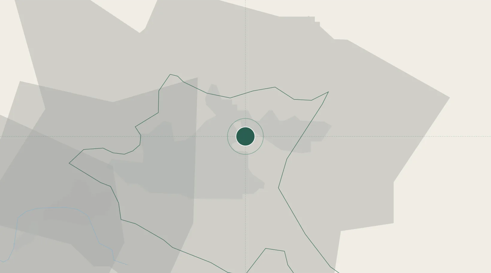
Populated place
Region
Sofia-Capital
Time zone
Europe/Sofia
Elevation
519 m
Location
Nearby Logistics Neighbours
Cities
- 1Sofia8 km
- 2Novi Isar9 km
- 3Gorublyane15 km
- 4Svoge24 km
- 5Bankya26 km
Ports
- 1Kavala219 km
- 2Thessaloniki241 km
- 3Lagos242 km
- 4Stratoni252 km
- 5Yerakini278 km
Airports
- 1Sofia Airport8 km
- 2Dolna Mitropoliya Air Base116 km
- 3Graf Ignatievo Air Base118 km
- 4Plovdiv International Airport140 km
- 5Niš Constantine the Great Airport143 km
Trade Zones
- 1Dragoman Free Economic Zone44 km
- 2Pirot Free Zone83 km
- 3TIDZ Delčevo103 km
- 4Plovdiv Free Zone111 km
- 5Vidin Free Trade Zone119 km
DatabookThe Record of Consolidated Knowledge
Bulgaria beyond logistics?