Transport Functions
Multimodal
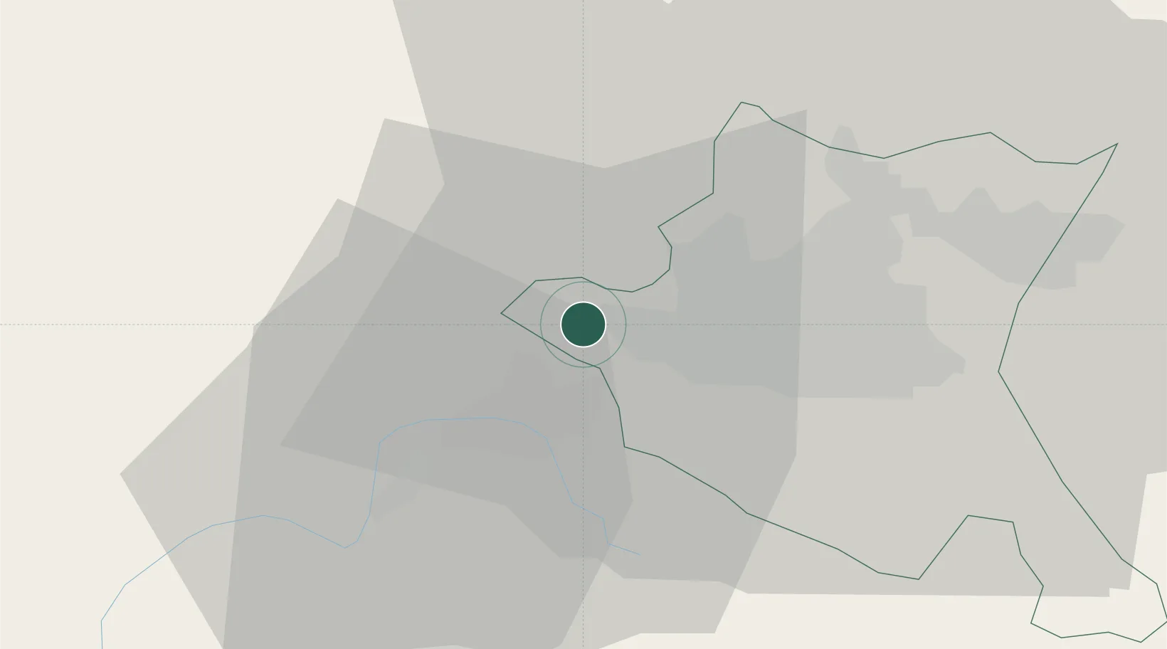
Hub Profile
Place type
Populated place
Region
Sofia-Capital
Time zone
Europe/Sofia
Elevation
681 m
Location
Nearby Logistics Neighbours
Cities
- 1Novi Isar20 km
- 2Sofia23 km
- 3Gorublyane23 km
- 4Chepintsi26 km
- 5Staro Selo28 km
Ports
- 1Kavala223 km
- 2Thessaloniki230 km
- 3Stratoni250 km
- 4Lagos251 km
- 5Yerakini272 km
Airports
- 1Sofia Airport23 km
- 2Niš Constantine the Great Airport126 km
- 3Graf Ignatievo Air Base137 km
- 4Dolna Mitropoliya Air Base139 km
- 5Skopje International Airport149 km
Trade Zones
- 1Dragoman Free Economic Zone29 km
- 2Pirot Free Zone70 km
- 3TIDZ Delčevo85 km
- 4TIDZ Rankovce97 km
- 5Vranje Free Zone101 km
DatabookThe Record of Consolidated Knowledge
Bulgaria beyond logistics?