Transport Functions
Rail
Road
Hub Profile
Place type
Provincial seat
Region
Central Serbia
Population
40,678
Time zone
Europe/Belgrade
Elevation
371 m
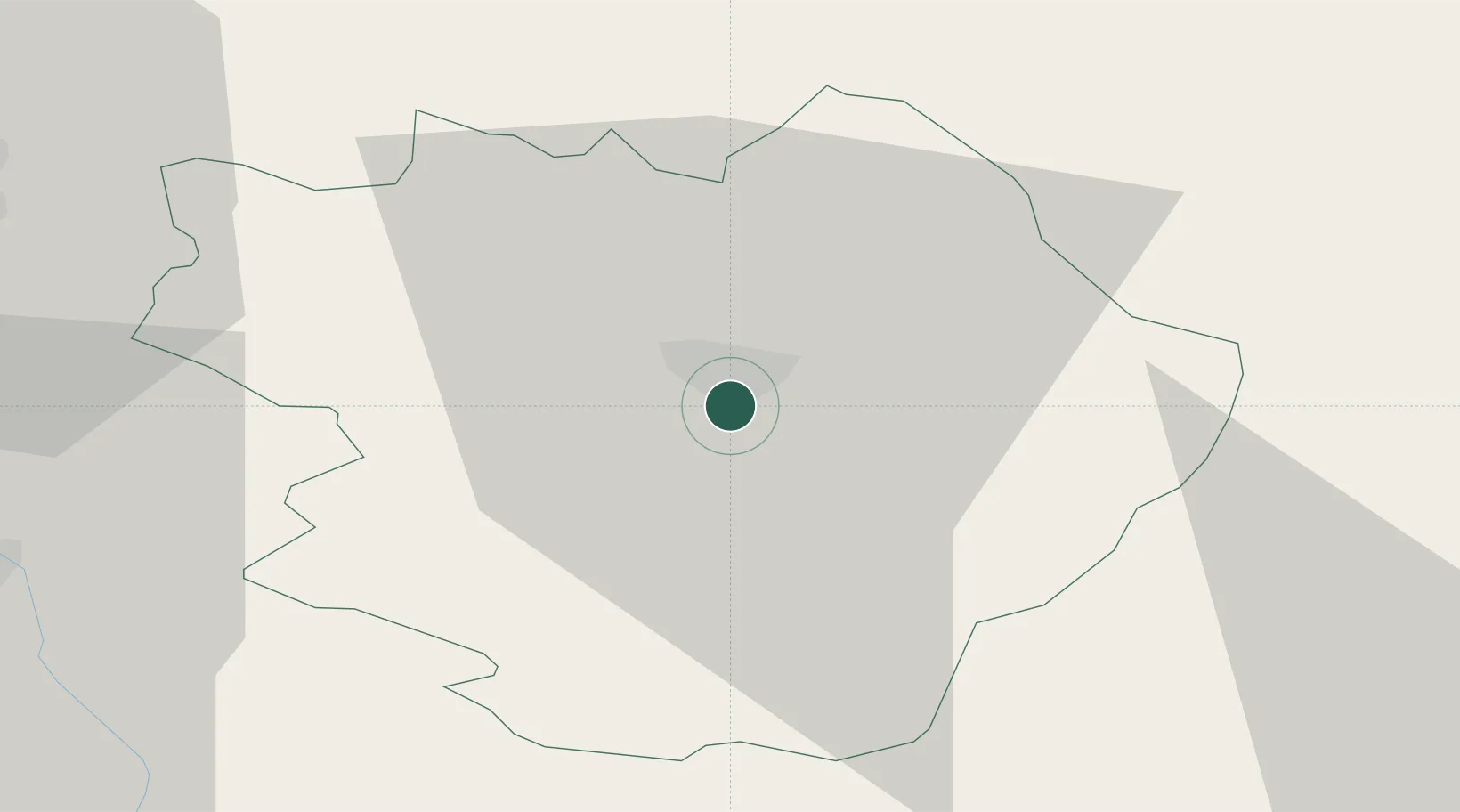
Location
Nearby Logistics Neighbours
Cities
- 1Babusnica19 km
- 2Dimitrovgrad22 km
- 3Bankya34 km
- 4Mezdra45 km
- 5Knjazevac54 km
Ports
- 1Thessaloniki281 km
- 2Shengjin286 km
- 3Kavala289 km
- 4Bar310 km
- 5Stratoni311 km
Airports
Trade Zones
- 1Pirot Free Zone3 km
- 2Dragoman Free Economic Zone38 km
- 3Vidin Free Trade Zone50 km
- 4Vranje Free Zone87 km
- 5Kruševac Free Zone110 km
DatabookThe Record of Consolidated Knowledge
Serbia beyond logistics?