Transport Functions
Multimodal
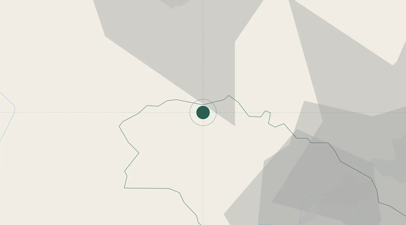
Hub Profile
Place type
Populated place
Region
Pernik
Time zone
Europe/Sofia
Elevation
685 m
Location
Nearby Logistics Neighbours
Cities
- 1Dimitrovgrad19 km
- 2Babusnica31 km
- 3Pirot34 km
- 4Bankya42 km
- 5Novi Isar55 km
Ports
- 1Thessaloniki248 km
- 2Kavala257 km
- 3Stratoni277 km
- 4Shengjin277 km
- 5Lagos290 km
Airports
Trade Zones
- 1Dragoman Free Economic Zone23 km
- 2Pirot Free Zone37 km
- 3Vranje Free Zone70 km
- 4TIDZ Rankovce84 km
- 5Vidin Free Trade Zone84 km
DatabookThe Record of Consolidated Knowledge
Bulgaria beyond logistics?