Transport Functions
Port
Road
Hub Profile
Place type
District seat
Region
Central Serbia
Time zone
Europe/Belgrade
Elevation
461 m
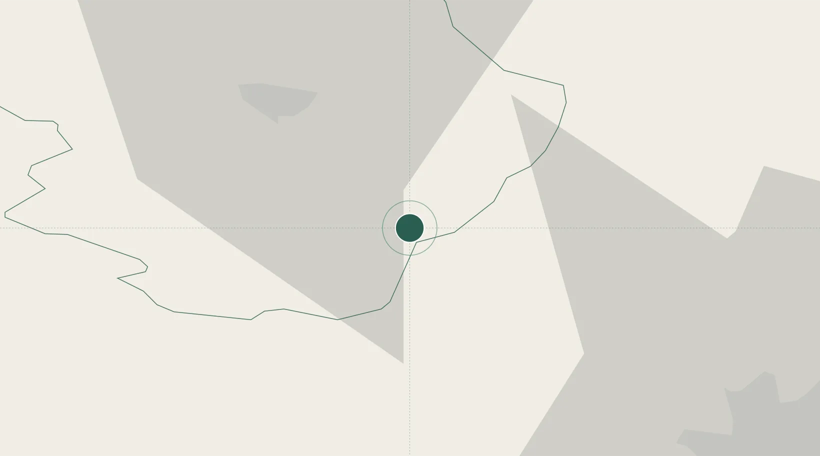
Location
Nearby Logistics Neighbours
Ports
- 1Thessaloniki264 km
- 2Kavala267 km
- 3Stratoni290 km
- 4Shengjin291 km
- 5Lagos296 km
Airports
Trade Zones
- 1Dragoman Free Economic Zone16 km
- 2Pirot Free Zone25 km
- 3Vidin Free Trade Zone69 km
- 4Vranje Free Zone86 km
- 5TIDZ Rankovce102 km
DatabookThe Record of Consolidated Knowledge
Serbia beyond logistics?