UN/LOCODE hub · Bulgaria
BGLIA

Liaskovec

43.1833°, 26.2000°
1
Transport functions

Transport Functions

Multimodal
UN/LOCODE

Hub Profile

Region
04
GeoNames

Location

Location of BGLIA
Natural Earth 10m (public domain) · 04 · BGLIA · 43.18, 26.20GoogleOSMYandex

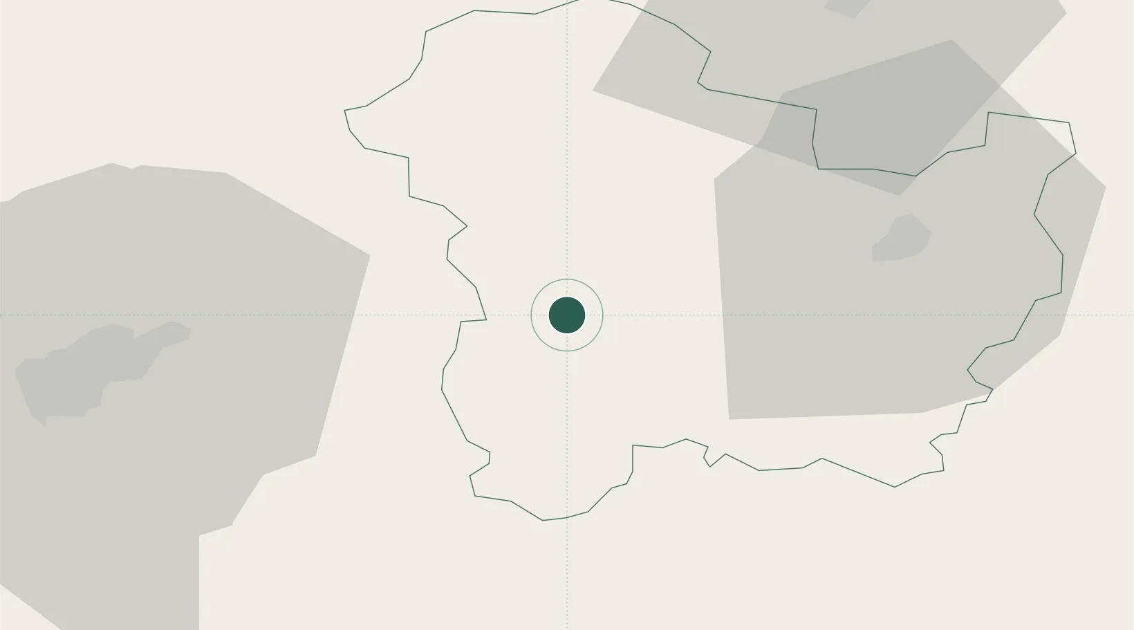
Nearby Logistics Neighbours

Cities
  1. 1Targovishte32 km
  2. 2Lyaskovets40 km
  3. 3Shumen59 km
  4. 4Dryanovo62 km
  5. 5Lomci67 km
Nearest neighbours — logibook spatial index (haversine) over the source coordinates
Ports
  1. 1Burgas130 km
  2. 2Varna143 km
  3. 3Cernavoda196 km
  4. 4Medgidia204 km
  5. 5Mangalia205 km
Nearest neighbours — logibook spatial index (haversine) over the source coordinates
Airports
  1. 1Gorna Oryahovitsa Airport40 km
  2. 2Bezmer Air Base82 km
  3. 3Burgas Airport127 km
  4. 4Varna Airport132 km
  5. 5Dolna Mitropoliya Air Base141 km
Nearest neighbours — logibook spatial index (haversine) over the source coordinates
Trade Zones
  1. 1Rousse Free Zone80 km
  2. 2Free Zone Giurgiu81 km
  3. 3Bourgas Free Economic Zone124 km
  4. 4VGP Park Buharest North145 km
  5. 5Svilengrad Free Economic Zone158 km
Nearest neighbours — logibook spatial index (haversine) over the source coordinates
DatabookThe Record of Consolidated Knowledge
Bulgaria beyond logistics?
Browse databook

All Sources

LocationsUN/LOCODE
UN/LOCODE — free
Portsthe NGA World Port Index
Public domain (US gov)
AirportsOurAirports
Public domain
Trade Zonesthe World Bank SEZ database
CC BY 4.0
Trade ZonesOpen Zone Map
CC BY
← Bulgaria locations