Transport Functions
Multimodal
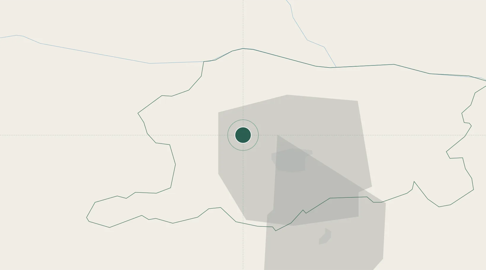
Hub Profile
Place type
Populated place
Region
Pleven
Time zone
Europe/Sofia
Elevation
94 m
Location
Nearby Logistics Neighbours
Cities
- 1Corabia28 km
- 2Knezha31 km
- 3Nikopol38 km
- 4Byala Slatina42 km
- 5Turnu Magurele42 km
Ports
- 1Burgas271 km
- 2Lagos285 km
- 3Varna285 km
- 4Kavala287 km
- 5Alexandroupoli320 km
Airports
- 1Dolna Mitropoliya Air Base8 km
- 2Craiova International Airport100 km
- 3Gorna Oryahovitsa Airport109 km
- 4Sofia Airport125 km
- 5Graf Ignatievo Air Base138 km
Trade Zones
- 1Free Zone Giurgiu127 km
- 2Rousse Free Zone132 km
- 3Dragoman Free Economic Zone141 km
- 4Maritsa Industrial and Commercial Zone148 km
- 5Trakia Economic Zone153 km
DatabookThe Record of Consolidated Knowledge
Bulgaria beyond logistics?