UN/LOCODE hub · Bulgaria
BGTAD

Tvardica

42.1167°, 25.1500°
1
Transport functions

Transport Functions

Multimodal
UN/LOCODE

Hub Profile

Region
20
GeoNames

Location

Location of BGTAD
Natural Earth 10m (public domain) · 20 · BGTAD · 42.12, 25.15GoogleOSMYandex

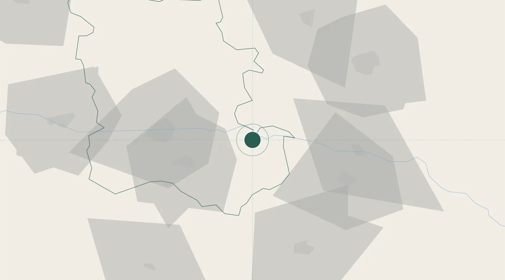
Nearby Logistics Neighbours

Cities
  1. 1Orizovo13 km
  2. 2Parvomai20 km
  3. 3Rakovski25 km
  4. 4Stryama27 km
  5. 5Kuklen32 km
Nearest neighbours — logibook spatial index (haversine) over the source coordinates
Ports
  1. 1Lagos124 km
  2. 2Kavala146 km
  3. 3Alexandroupoli155 km
  4. 4Burgas196 km
  5. 5Stratoni209 km
Nearest neighbours — logibook spatial index (haversine) over the source coordinates
Airports
  1. 1Plovdiv International Airport25 km
  2. 2Graf Ignatievo Air Base41 km
  3. 3Bezmer Air Base106 km
  4. 4Gorna Oryahovitsa Airport124 km
  5. 5Kavala Alexander the Great International Airport141 km
Nearest neighbours — logibook spatial index (haversine) over the source coordinates
Trade Zones
  1. 1Kuklen Industrial and Commercial Zone31 km
  2. 2Trakia Economic Zone32 km
  3. 3Maritsa Industrial and Commercial Zone34 km
  4. 4Plovdiv Free Zone58 km
  5. 5Svilengrad Free Economic Zone95 km
Nearest neighbours — logibook spatial index (haversine) over the source coordinates
DatabookThe Record of Consolidated Knowledge
Bulgaria beyond logistics?
Browse databook

All Sources

LocationsUN/LOCODE
UN/LOCODE — free
Portsthe NGA World Port Index
Public domain (US gov)
AirportsOurAirports
Public domain
Trade Zonesthe World Bank SEZ database
CC BY 4.0
Trade ZonesOpen Zone Map
CC BY
← Bulgaria locations