Transport Functions
Multimodal
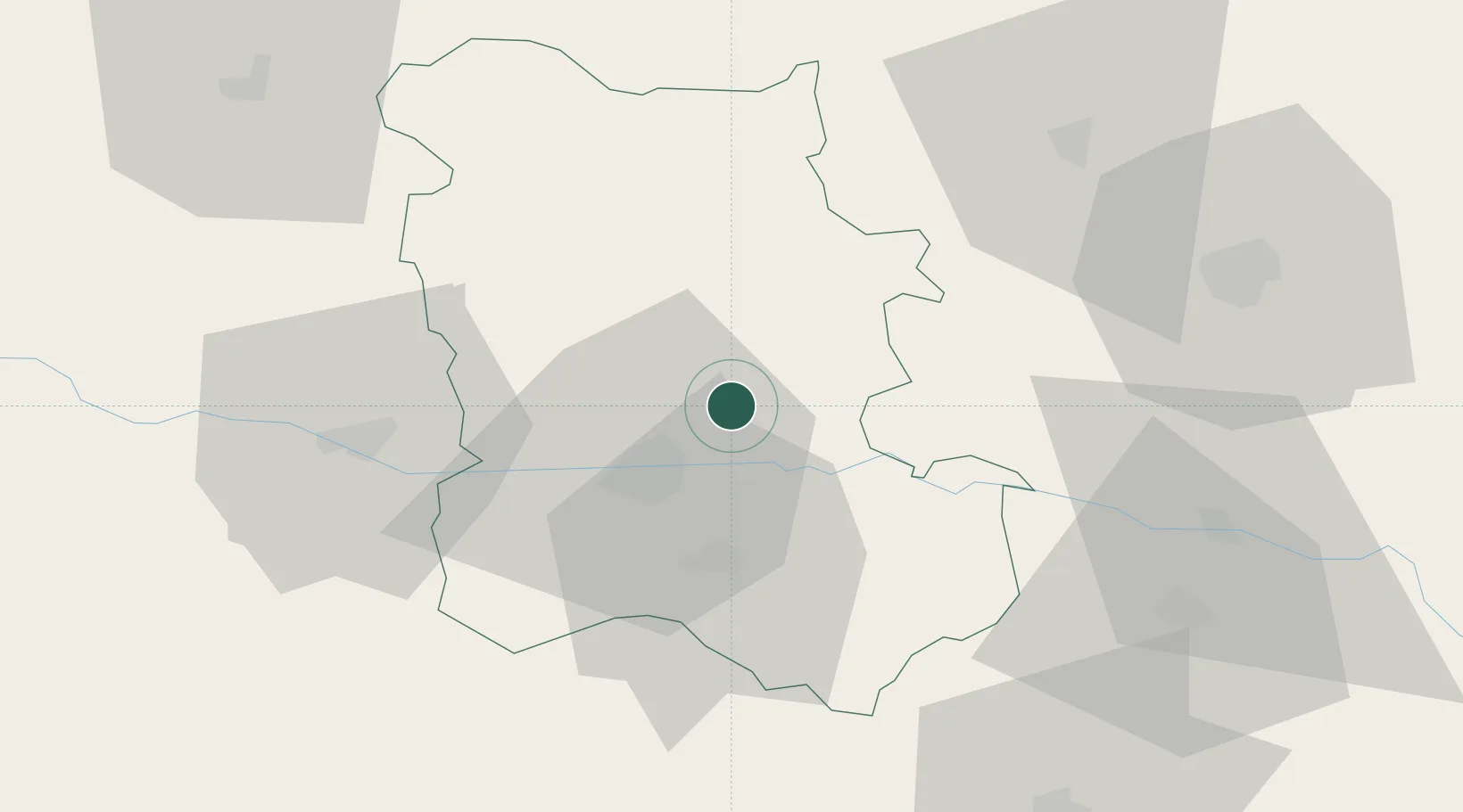
Hub Profile
Place type
Populated place
Region
Plovdiv
Time zone
Europe/Sofia
Elevation
171 m
Location
Nearby Logistics Neighbours
Cities
- 1Rakovski9 km
- 2Radinovo22 km
- 3Kuklen26 km
- 4Tvardica27 km
- 5Saedinenie28 km
Ports
- 1Lagos141 km
- 2Kavala152 km
- 3Alexandroupoli178 km
- 4Stratoni212 km
- 5Burgas215 km
Airports
- 1Graf Ignatievo Air Base15 km
- 2Plovdiv International Airport20 km
- 3Gorna Oryahovitsa Airport121 km
- 4Bezmer Air Base123 km
- 5Sofia Airport130 km
Trade Zones
DatabookThe Record of Consolidated Knowledge
Bulgaria beyond logistics?