Transport Functions
Road
Multimodal
Hub Profile
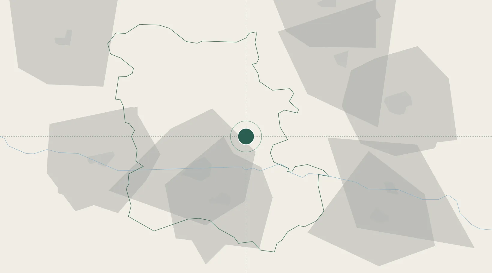
Place type
Populated place
Region
Plovdiv
Population
15,782
Time zone
Europe/Sofia
Elevation
174 m
Location
Nearby Logistics Neighbours
Cities
- 1Stryama9 km
- 2Tvardica25 km
- 3Radinovo30 km
- 4Kuklen33 km
- 5Saedinenie35 km
Ports
- 1Lagos145 km
- 2Kavala159 km
- 3Alexandroupoli180 km
- 4Burgas208 km
- 5Stratoni220 km
Airports
- 1Graf Ignatievo Air Base21 km
- 2Plovdiv International Airport28 km
- 3Gorna Oryahovitsa Airport113 km
- 4Bezmer Air Base115 km
- 5Dolna Mitropoliya Air Base134 km
Trade Zones
DatabookThe Record of Consolidated Knowledge
Bulgaria beyond logistics?