Transport Functions
Rail
Road
Hub Profile
Place type
Populated place
Region
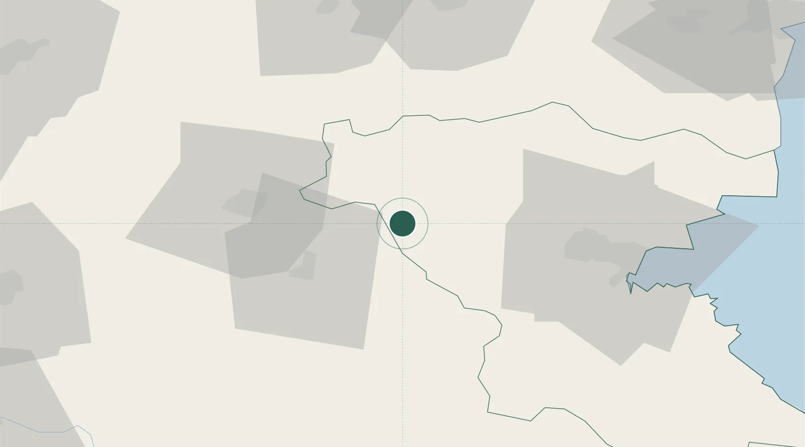
Burgas
Time zone
Europe/Sofia
Elevation
139 m
Location
Nearby Logistics Neighbours
Ports
- 1Burgas58 km
- 2Varna113 km
- 3Tekirdag193 km
- 4Mangalia195 km
- 5Alexandroupoli214 km
Airports
- 1Bezmer Air Base42 km
- 2Burgas Airport59 km
- 3Gorna Oryahovitsa Airport106 km
- 4Varna Airport107 km
- 5Balchik Airfield143 km
Trade Zones
- 1Bourgas Free Economic Zone52 km
- 2Svilengrad Free Economic Zone109 km
- 3Kirklareli Organized Industrial Zone114 km
- 4Rousse Free Zone153 km
- 5Free Zone Giurgiu156 km
DatabookThe Record of Consolidated Knowledge
Bulgaria beyond logistics?