Transport Functions
Multimodal
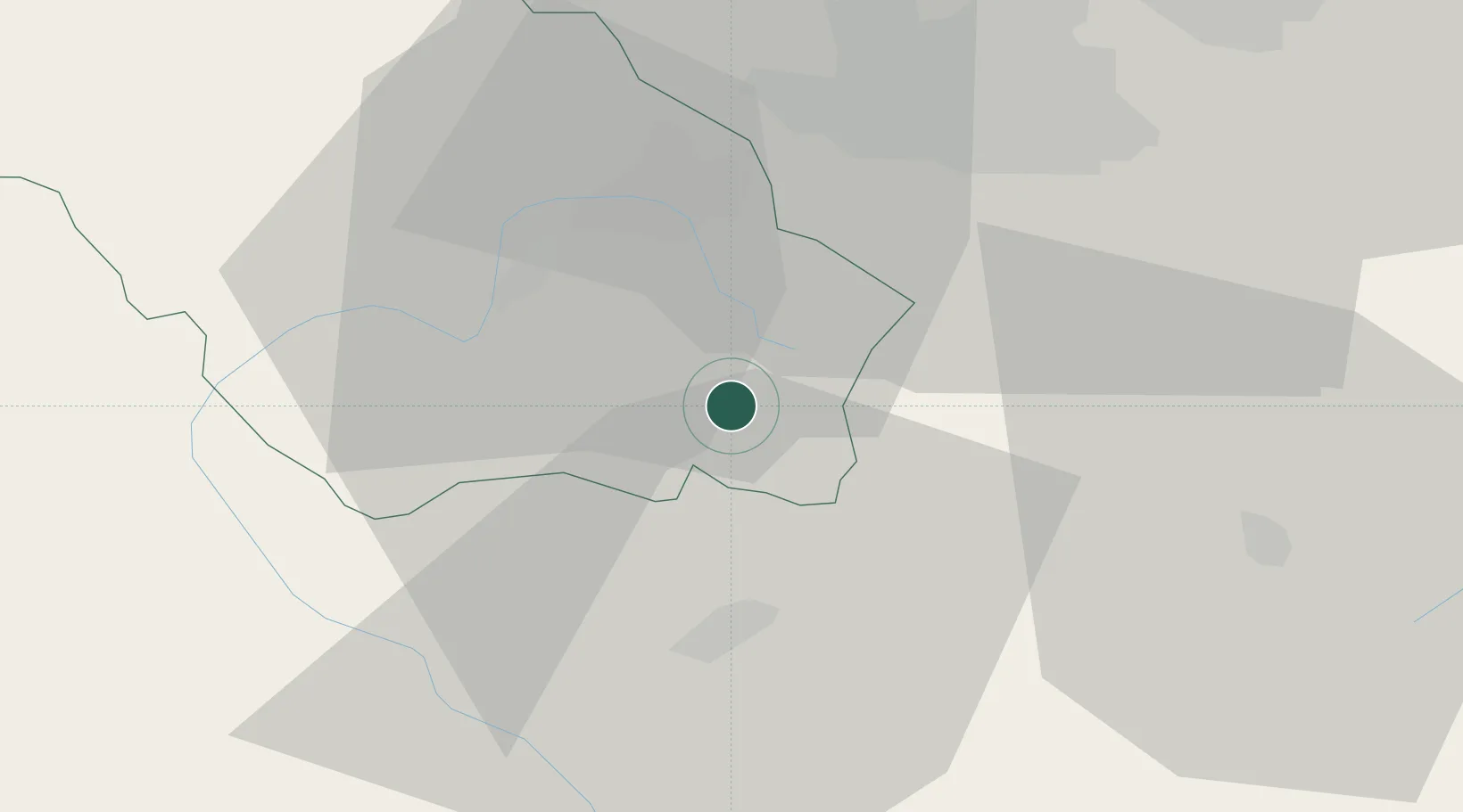
Hub Profile
Place type
Populated place
Region
Pernik
Time zone
Europe/Sofia
Elevation
793 m
Location
Nearby Logistics Neighbours
Cities
- 1Dupnica20 km
- 2Bankya28 km
- 3Gorublyane30 km
- 4Sofia35 km
- 5Kyustendil41 km
Ports
- 1Kavala199 km
- 2Thessaloniki203 km
- 3Stratoni223 km
- 4Lagos231 km
- 5Yerakini244 km
Airports
- 1Sofia Airport36 km
- 2Graf Ignatievo Air Base131 km
- 3Skopje International Airport136 km
- 4Niš Constantine the Great Airport143 km
- 5Plovdiv International Airport148 km
Trade Zones
- 1Dragoman Free Economic Zone55 km
- 2TIDZ Delčevo60 km
- 3TIDZ Vinica82 km
- 4TIDZ Rankovce83 km
- 5TIDZ Berovo87 km
DatabookThe Record of Consolidated Knowledge
Bulgaria beyond logistics?