Transport Functions
Rail
Road
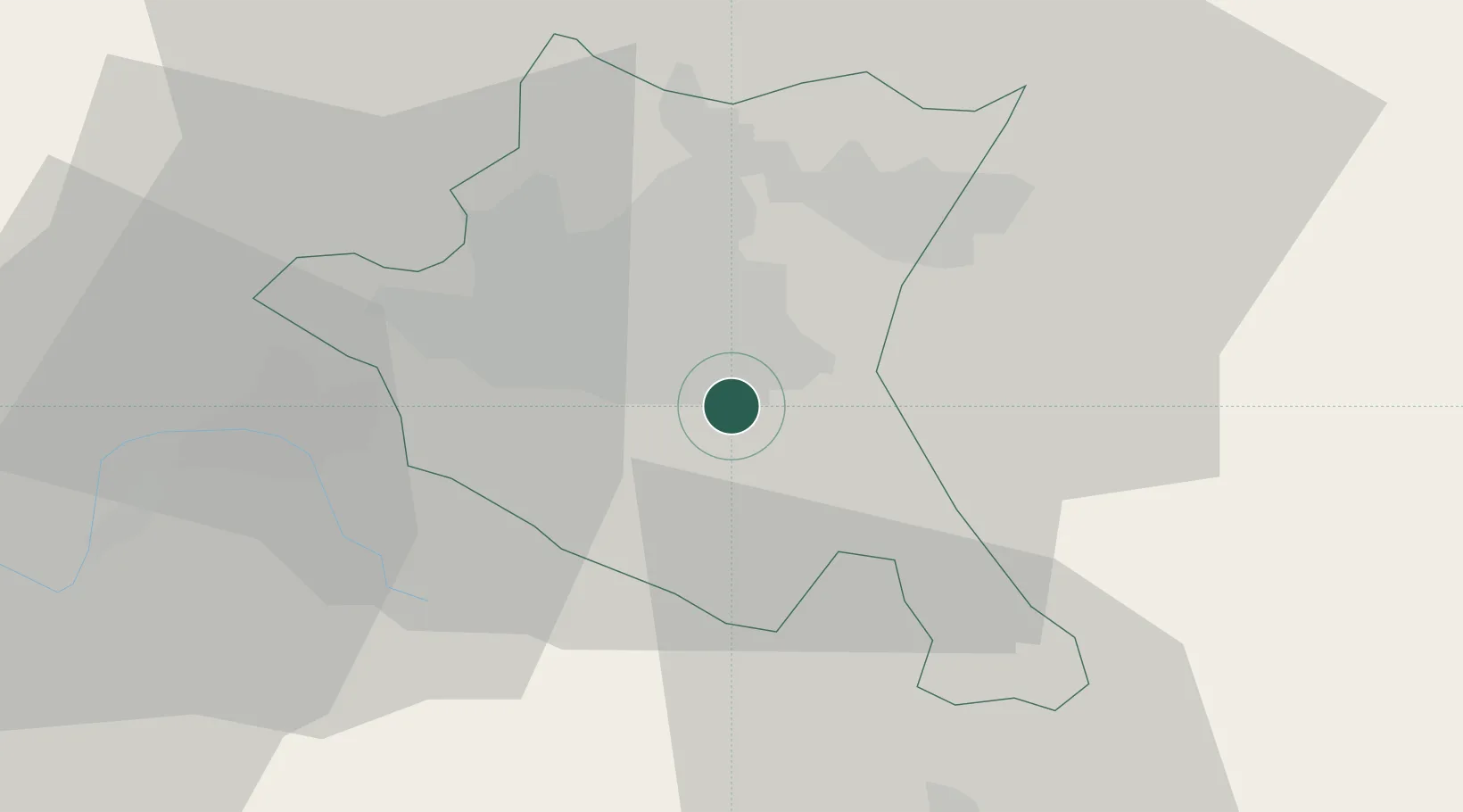
Hub Profile
Place type
Urban district
Region
Sofia-Capital
Time zone
Europe/Sofia
Elevation
587 m
Location
Nearby Logistics Neighbours
Cities
- 1Sofia7 km
- 2Chepintsi15 km
- 3Novi Isar19 km
- 4Bankya23 km
- 5Staro Selo30 km
Ports
- 1Kavala206 km
- 2Thessaloniki226 km
- 3Lagos232 km
- 4Stratoni238 km
- 5Yerakini263 km
Airports
- 1Sofia Airport7 km
- 2Graf Ignatievo Air Base114 km
- 3Dolna Mitropoliya Air Base128 km
- 4Plovdiv International Airport135 km
- 5Niš Constantine the Great Airport148 km
Trade Zones
- 1Dragoman Free Economic Zone50 km
- 2TIDZ Delčevo89 km
- 3Pirot Free Zone90 km
- 4Plovdiv Free Zone104 km
- 5TIDZ Vinica111 km
DatabookThe Record of Consolidated Knowledge
Bulgaria beyond logistics?