About
Methodology
Sources
Licensing
English
EN
English
TR
Türkçe
DE
Deutsch
FR
Français
ES
Español
IT
Italiano
PT
Português
NL
Nederlands
PL
Polski
RU
Русский
UK
Українська
CS
Čeština
RO
Română
EL
Ελληνικά
BG
Български
AR
العربية
FA
فارسی
UR
اردو
HI
हिन्दी
BN
বাংলা
ID
Bahasa Indonesia
VI
Tiếng Việt
ZH
中文
JA
日本語
KO
한국어
logibook
/
Countries
/
Belgium
/
Locations
/
Zuen (Zuun)
UN/LOCODE hub ·
Belgium
BE
ZUN
Zuen (Zuun)
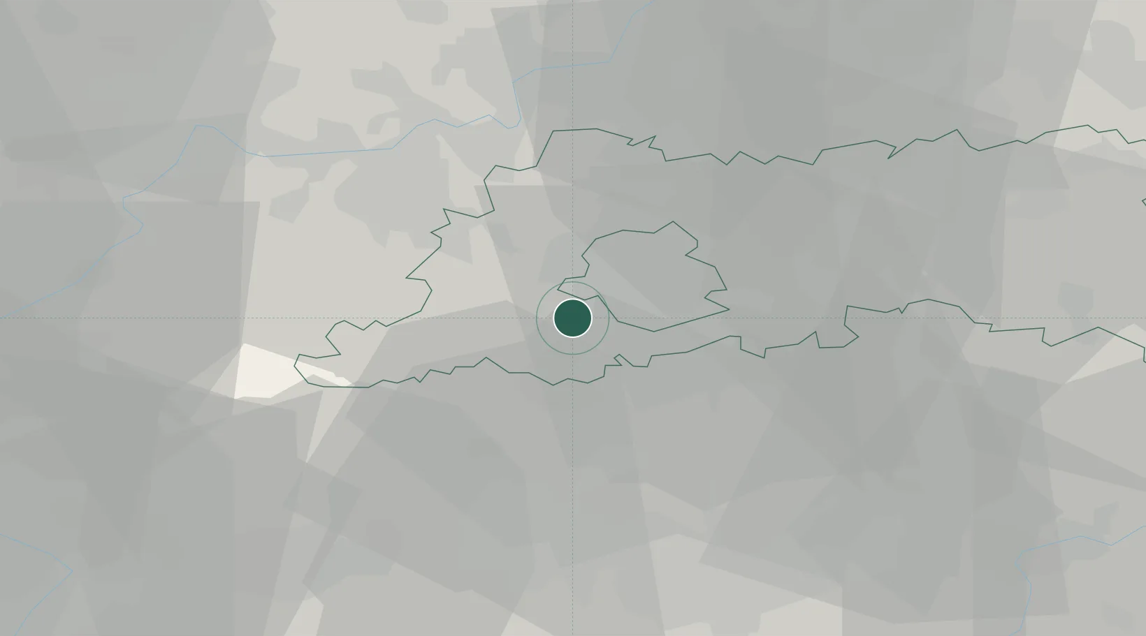
50.7833°, 4.2667°
2
Transport functions
Transport Functions
Port
Road
UN/LOCODE
Hub Profile
Region
VBR
GeoNames
Location
Natural Earth 10m (public domain) · VBR · BEZUN · 50.78, 4.27
Google ↗
OSM ↗
Yandex ↗
Nearby Logistics Neighbours
Cities
1
Lot
2 km
2
Ruisbroek
2 km
3
Sint Pieters Leeuw
2 km
4
Beersel
3 km
5
Halle
6 km
Nearest neighbours — logibook spatial index (haversine) over the source coordinates
Ports
1
Bruxelles
11 km
2
Ghent
49 km
3
Antwerpen
49 km
4
Terneuzen
70 km
5
Hansweert
76 km
Nearest neighbours — logibook spatial index (haversine) over the source coordinates
Airports
1
Brussels Airport
20 km
2
Beauvechain Air Base
35 km
3
Brussels South Charleroi Airport
38 km
4
Chièvres Air Base
38 km
5
Antwerp International Airport (Deurne)
47 km
Nearest neighbours — logibook spatial index (haversine) over the source coordinates
Trade Zones
1
ZFU Condé sur lEscaut
60 km
2
ZFU Maubeuge, Louvroil
63 km
3
ZFU Hem et Roubaix
78 km
4
ZFU Tourcoing
78 km
5
ZFU Denain, Douchy-les-Mines, Escaudain et Lourches
82 km
Nearest neighbours — logibook spatial index (haversine) over the source coordinates
Data
book
The Record of Consolidated Knowledge
Belgium beyond logistics?
Browse databook
→
All Sources
Locations
UN/LOCODE
UN/LOCODE — free
↗
Ports
the NGA World Port Index
Public domain (US gov)
↗
Airports
OurAirports
Public domain
↗
Trade Zones
the World Bank SEZ database
CC BY 4.0
↗
Trade Zones
Open Zone Map
CC BY
↗
← Belgium locations