UN/LOCODE hub · Belgium
BEVGW
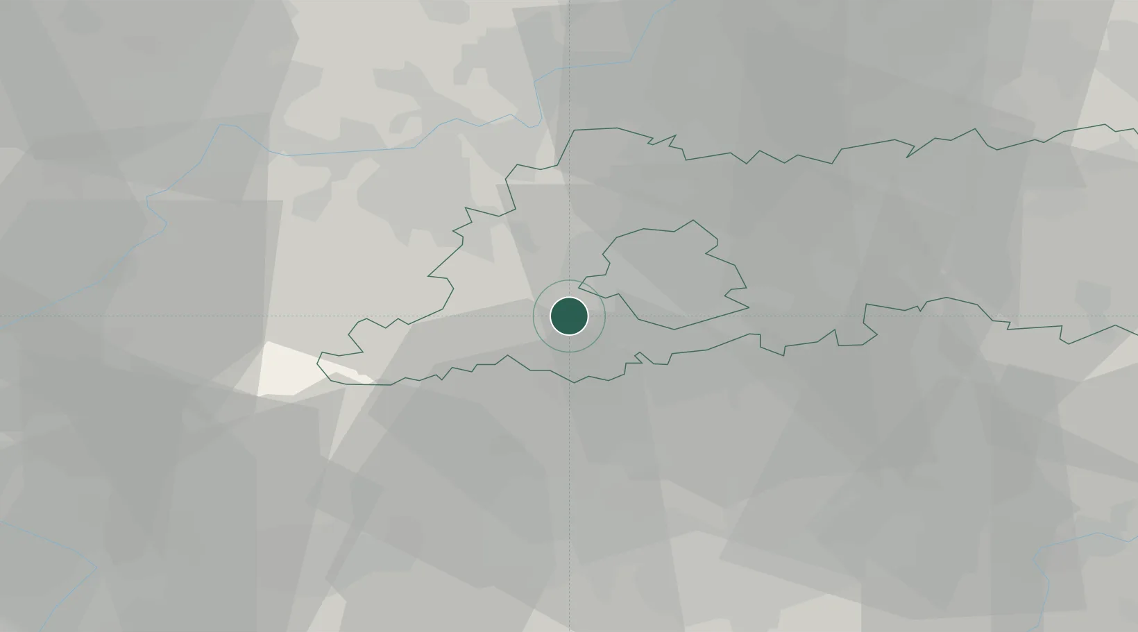
Sint Pieters Leeuw
50.7833°, 4.2333°
30,446
Population
1
Transport functions
Transport Functions
Multimodal
Hub Profile
Place type
Populated place
Region
Flanders
Population
30,446
Time zone
Europe/Brussels
Elevation
45 m
Location
Nearby Logistics Neighbours
DatabookThe Record of Consolidated Knowledge
Belgium beyond logistics?