Transport Functions
Port
Rail
Road
Hub Profile
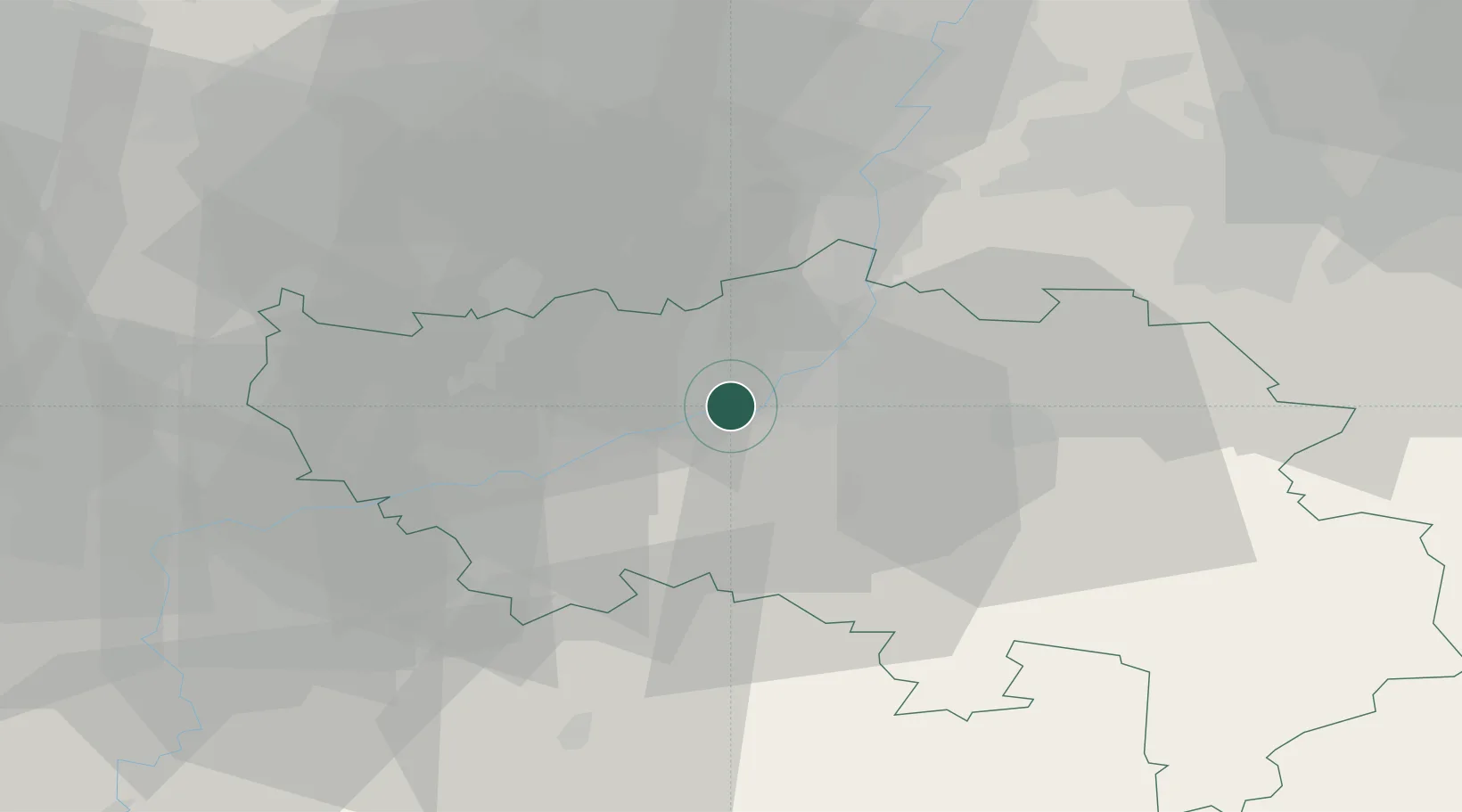
Place type
Populated place
Region
Wallonia
Population
4,189
Time zone
Europe/Brussels
Elevation
69 m
Location
Nearby Logistics Neighbours
Airports
- 1Liège Airport7 km
- 2Maastricht Aachen Airport37 km
- 3Geilenkirchen Air Base52 km
- 4Beauvechain Air Base56 km
- 5Kleine Brogel Air Base62 km
Trade Zones
- 1Rheinische Revier SWZ68 km
- 2ZFU Ronde Couture113 km
- 3Freeport of Duisburg118 km
- 4Luxembourg Free Port119 km
- 5ZFU Maubeuge, Louvroil120 km
DatabookThe Record of Consolidated Knowledge
Belgium beyond logistics?