UN/LOCODE hub · Belgium
BEFVT
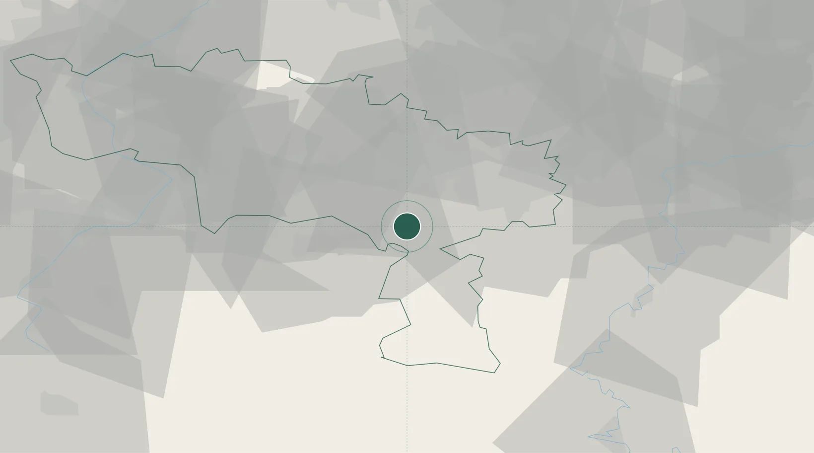
Fontaine-Valmont
50.3167°, 4.2000°
1,071
Population
2
Transport functions
Transport Functions
Port
Road
Hub Profile
Place type
Populated place
Region
Wallonia
Population
1,071
Time zone
Europe/Brussels
Elevation
124 m
Location
Nearby Logistics Neighbours
Cities
- 1Labuissière2 km
- 2Solre-sur-Sambre5 km
- 3Lobbes5 km
- 4Thuin6 km
- 5Erquelinnes6 km
Airports
- 1Brussels South Charleroi Airport25 km
- 2Florennes Air Base33 km
- 3Chièvres Air Base39 km
- 4Valenciennes-Denain Airfield53 km
- 5Beauvechain Air Base64 km
DatabookThe Record of Consolidated Knowledge
Belgium beyond logistics?