Transport Functions
Port
Road
Hub Profile
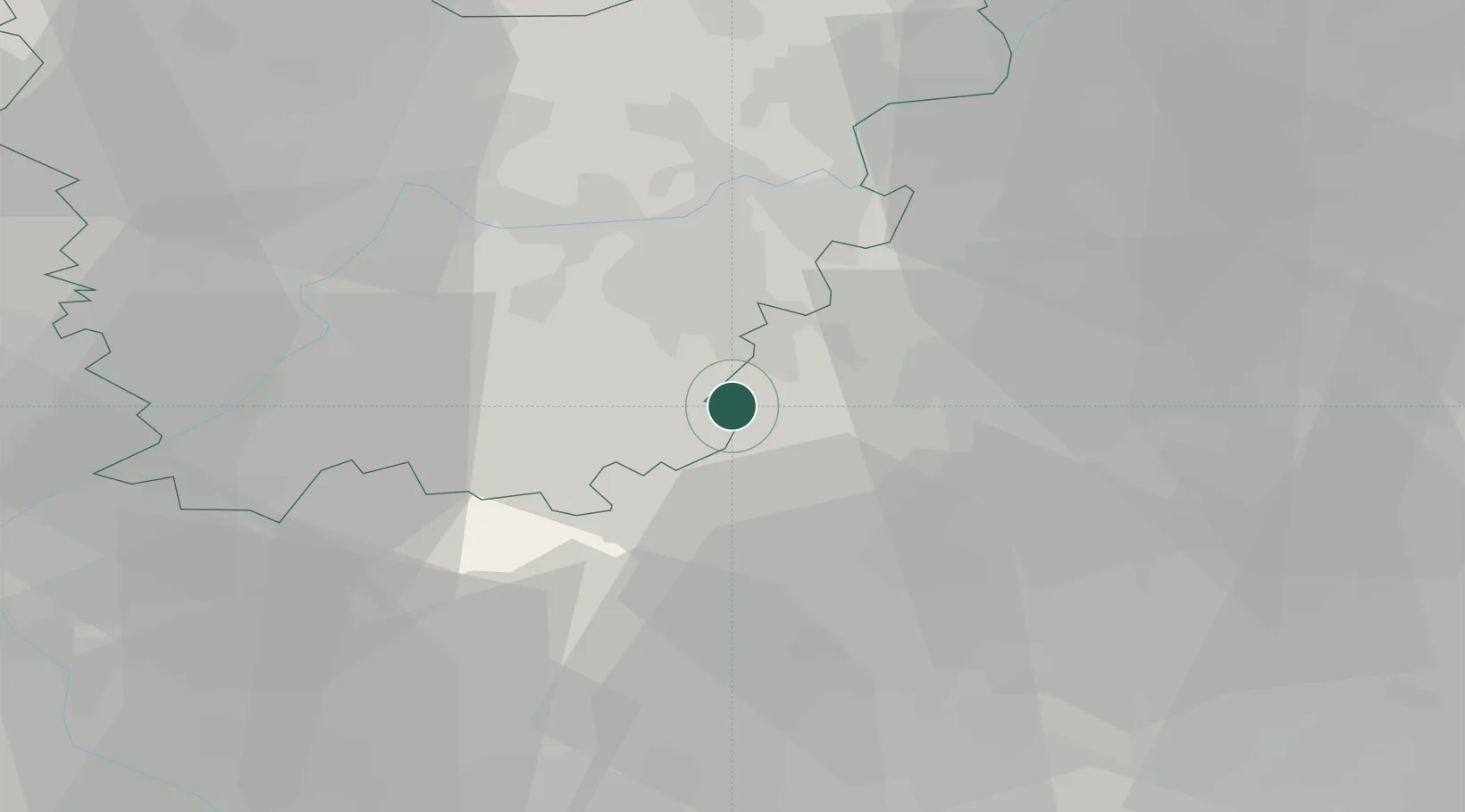
Place type
Populated place
Region
Flanders
Population
9,241
Time zone
Europe/Brussels
Elevation
35 m
Location
Nearby Logistics Neighbours
Cities
- 1Okegem2 km
- 2Ninove4 km
- 3Denderleeuw6 km
- 4Appelterre-Eichem7 km
- 5Teralfene8 km
Airports
Trade Zones
DatabookThe Record of Consolidated Knowledge
Belgium beyond logistics?