Transport Functions
Port
Rail
Road
Hub Profile
Place type
Populated place
Region
Flanders
Population
4,525
Time zone
Europe/Brussels
Elevation
13 m
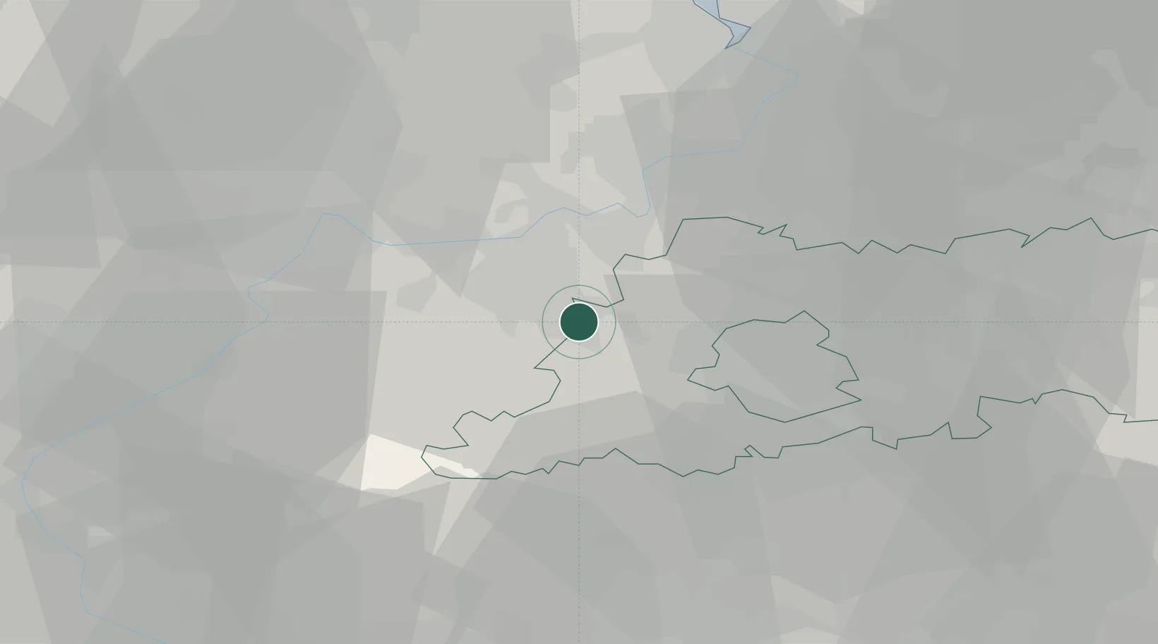
Location
Nearby Logistics Neighbours
Cities
- 1Denderleeuw3 km
- 2Aalst6 km
- 3Okegem7 km
- 4Ternat7 km
- 5Herdersem8 km
Airports
Trade Zones
- 1ZFU Condé sur lEscaut61 km
- 2ZFU Tourcoing69 km
- 3ZFU Hem et Roubaix70 km
- 4ZFU Maubeuge, Louvroil72 km
- 5ZFU de Lille et de Loos82 km
DatabookThe Record of Consolidated Knowledge
Belgium beyond logistics?