Transport Functions
Port
Road
Hub Profile
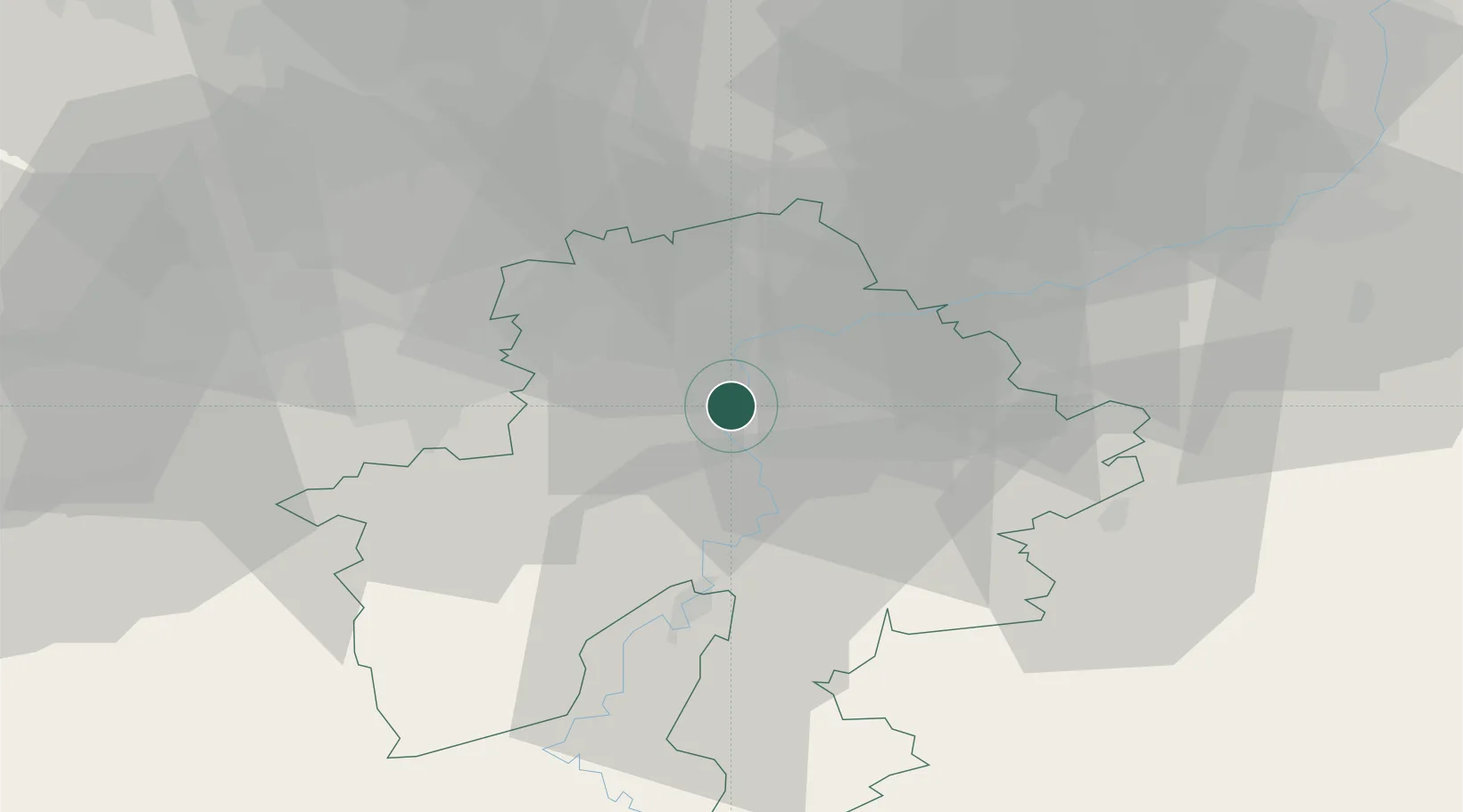
Place type
Populated place
Region
Wallonia
Population
11,401
Time zone
Europe/Brussels
Elevation
93 m
Location
Nearby Logistics Neighbours
Airports
- 1Florennes Air Base22 km
- 2Brussels South Charleroi Airport30 km
- 3Beauvechain Air Base42 km
- 4Liège Airport50 km
- 5Brussels Airport64 km
Trade Zones
DatabookThe Record of Consolidated Knowledge
Belgium beyond logistics?