Transport Functions
Port
Rail
Road
Hub Profile
Place type
Populated place
Region
Wallonia
Population
2,087
Time zone
Europe/Brussels
Elevation
254 m
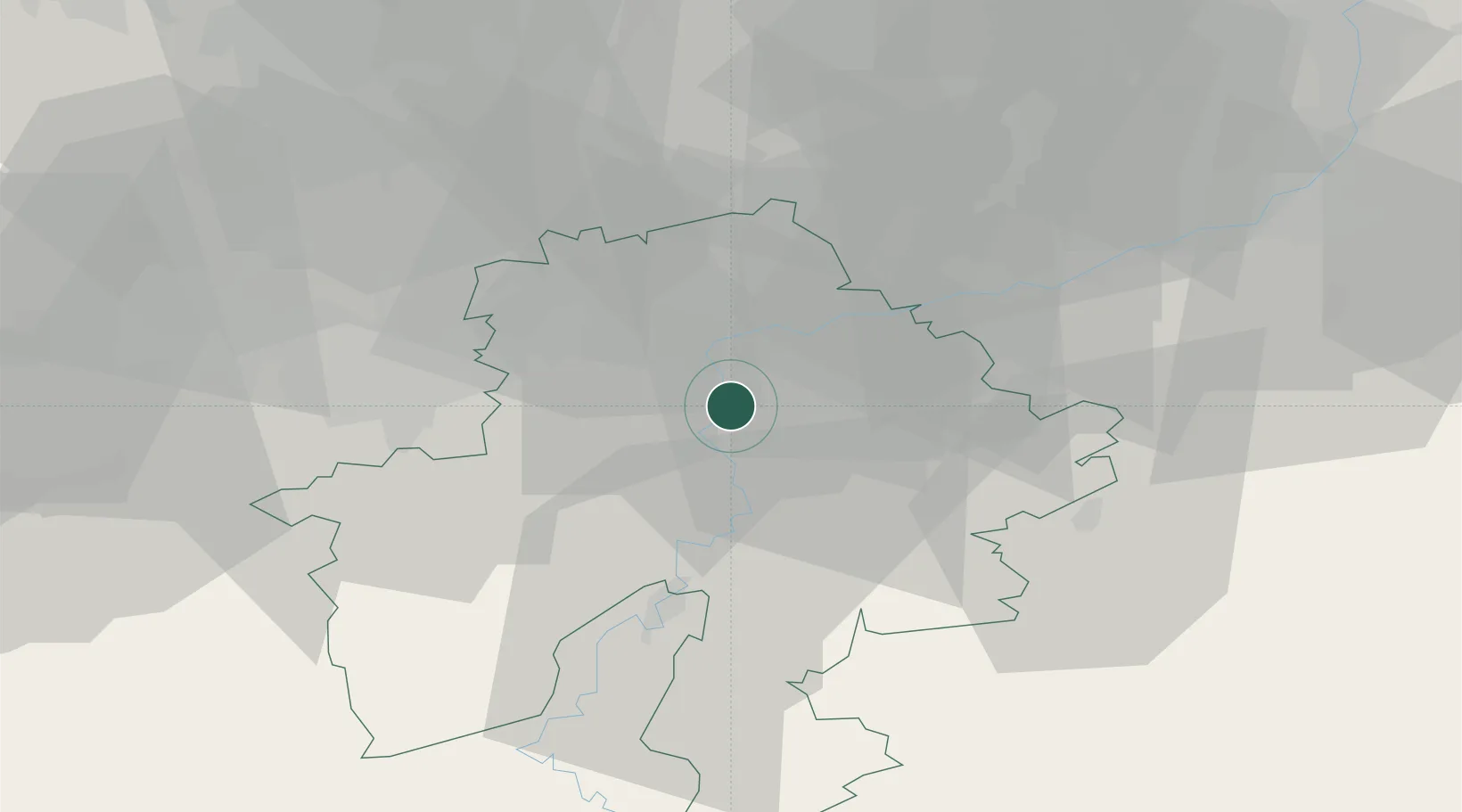
Location
Nearby Logistics Neighbours
Cities
- 1Profondeville2 km
- 2Wépion4 km
- 3Godinne4 km
- 4Rivière4 km
- 5Yvoir6 km
Airports
- 1Florennes Air Base24 km
- 2Brussels South Charleroi Airport32 km
- 3Beauvechain Air Base43 km
- 4Liège Airport48 km
- 5Brussels Airport65 km
Trade Zones
DatabookThe Record of Consolidated Knowledge
Belgium beyond logistics?