Transport Functions
Port
Road
Hub Profile
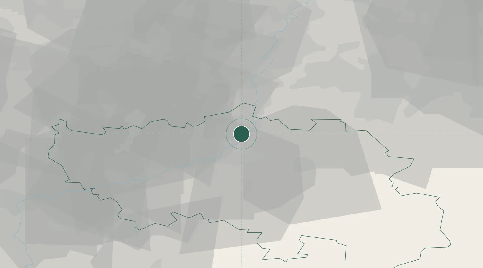
Place type
Populated place
Region
Wallonia
Population
23,594
Time zone
Europe/Brussels
Elevation
125 m
Location
Nearby Logistics Neighbours
Airports
- 1Liège Airport16 km
- 2Maastricht Aachen Airport25 km
- 3Geilenkirchen Air Base40 km
- 4Kleine Brogel Air Base54 km
- 5Kempen Airport Budel62 km
Trade Zones
- 1Rheinische Revier SWZ56 km
- 2Freeport of Duisburg106 km
- 3Luxembourg Free Port125 km
- 4ZFU Ronde Couture125 km
- 5ZFU Maubeuge, Louvroil131 km
DatabookThe Record of Consolidated Knowledge
Belgium beyond logistics?