Transport Functions
Port
Road
Hub Profile
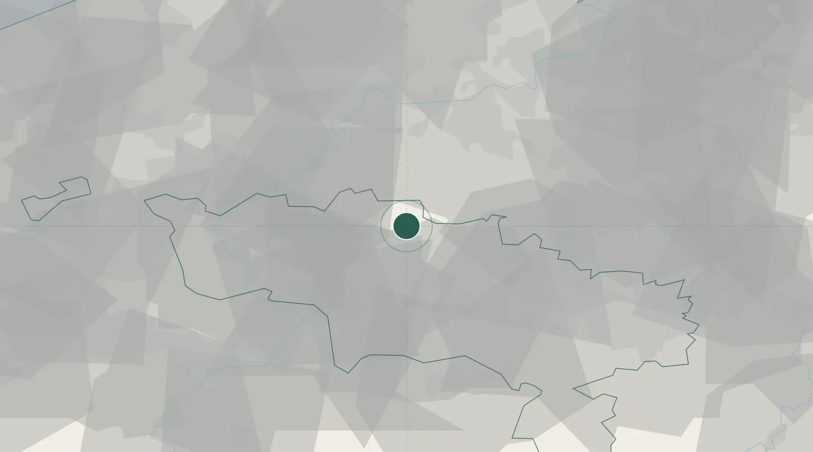
Place type
Populated place
Region
Wallonia
Population
1,539
Time zone
Europe/Brussels
Elevation
27 m
Location
Nearby Logistics Neighbours
DatabookThe Record of Consolidated Knowledge
Belgium beyond logistics?