Transport Functions
Port
Rail
Road
Hub Profile
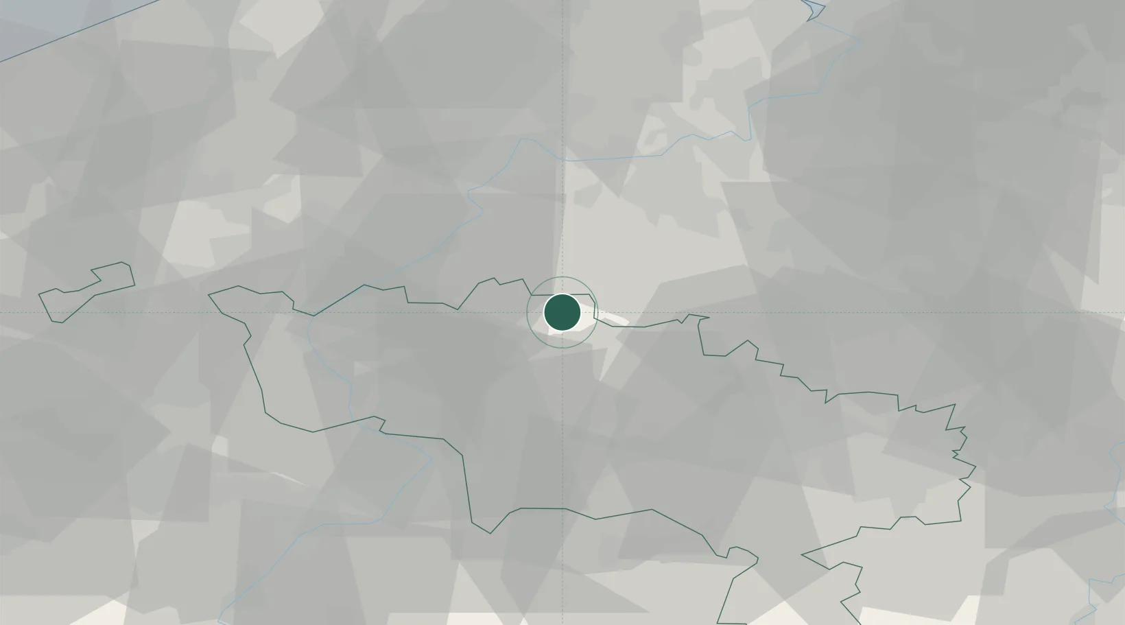
Place type
Populated place
Region
Wallonia
Population
17,687
Time zone
Europe/Brussels
Elevation
23 m
Location
Nearby Logistics Neighbours
Cities
- 1Deux-Acren2 km
- 2Overboelare4 km
- 3Ollignies4 km
- 4Isières6 km
- 5Geraardsbergen6 km
Airports
Trade Zones
DatabookThe Record of Consolidated Knowledge
Belgium beyond logistics?