Transport Functions
Port
Road
Hub Profile
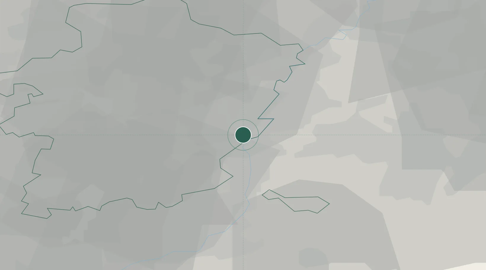
Place type
Populated place
Region
Flanders
Population
1,720
Time zone
Europe/Brussels
Elevation
46 m
Location
Nearby Logistics Neighbours
Cities
- 1Tournebride2 km
- 2Itteren2 km
- 3Boorsem3 km
- 4Uikhoven4 km
- 5Geulle4 km
Airports
- 1Maastricht Aachen Airport6 km
- 2Geilenkirchen Air Base26 km
- 3Kleine Brogel Air Base32 km
- 4Liège Airport35 km
- 5Kempen Airport Budel38 km
Trade Zones
- 1Rheinische Revier SWZ49 km
- 2Freeport of Duisburg86 km
- 3ZFU Maubeuge, Louvroil144 km
- 4ZFU Ronde Couture147 km
- 5Luxembourg Free Port147 km
DatabookThe Record of Consolidated Knowledge
Belgium beyond logistics?