UN/LOCODE hub · Belgium
BEMSS
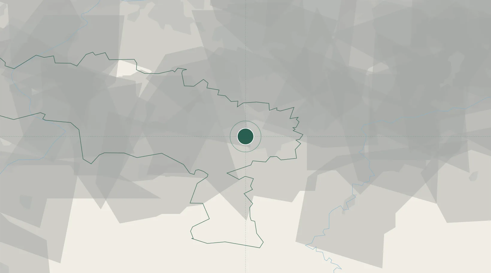
Monceau-sur-Sambre
50.4167°, 4.3667°
9,812
Population
2
Transport functions
Transport Functions
Port
Road
Hub Profile
Place type
Populated place
Region
Wallonia
Population
9,812
Time zone
Europe/Brussels
Elevation
138 m
Location
Nearby Logistics Neighbours
Cities
- 1Roux2 km
- 2Marchienne-au-Pont2 km
- 3Dampremy2 km
- 4Landelies4 km
- 5Courcelles6 km
Airports
- 1Brussels South Charleroi Airport8 km
- 2Florennes Air Base28 km
- 3Chièvres Air Base42 km
- 4Beauvechain Air Base47 km
- 5Brussels Airport55 km
Trade Zones
DatabookThe Record of Consolidated Knowledge
Belgium beyond logistics?