Transport Functions
Port
Road
Hub Profile
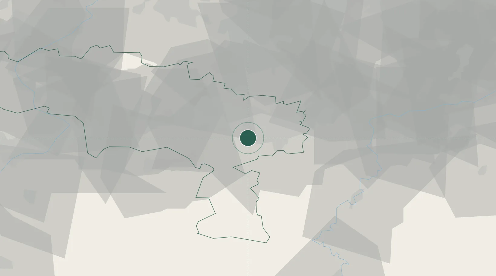
Place type
Populated place
Region
Wallonia
Population
1,174
Time zone
Europe/Brussels
Elevation
127 m
Location
Nearby Logistics Neighbours
Cities
- 1Marchienne-au-Pont3 km
- 2Monceau-sur-Sambre4 km
- 3Hourpes5 km
- 4Dampremy5 km
- 5Roux6 km
Airports
- 1Brussels South Charleroi Airport12 km
- 2Florennes Air Base26 km
- 3Chièvres Air Base43 km
- 4Beauvechain Air Base51 km
- 5Brussels Airport58 km
DatabookThe Record of Consolidated Knowledge
Belgium beyond logistics?