Transport Functions
Port
Rail
Road
Hub Profile
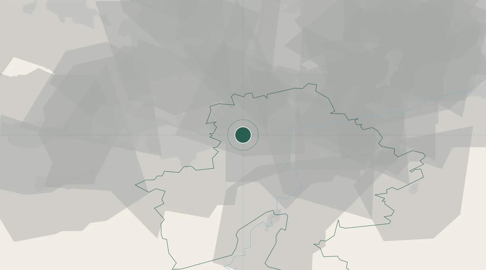
Place type
Populated place
Region
Wallonia
Population
1,130
Time zone
Europe/Brussels
Elevation
93 m
Location
Nearby Logistics Neighbours
Cities
- 1Jemeppe-sur-Sambre3 km
- 2Franière3 km
- 3Ham-sur-Sambre3 km
- 4Floriffoux5 km
- 5Auvelais6 km
Airports
- 1Brussels South Charleroi Airport17 km
- 2Florennes Air Base23 km
- 3Beauvechain Air Base35 km
- 4Brussels Airport52 km
- 5Liège Airport57 km
Trade Zones
DatabookThe Record of Consolidated Knowledge
Belgium beyond logistics?