UN/LOCODE hub · Belgium
BEJPS
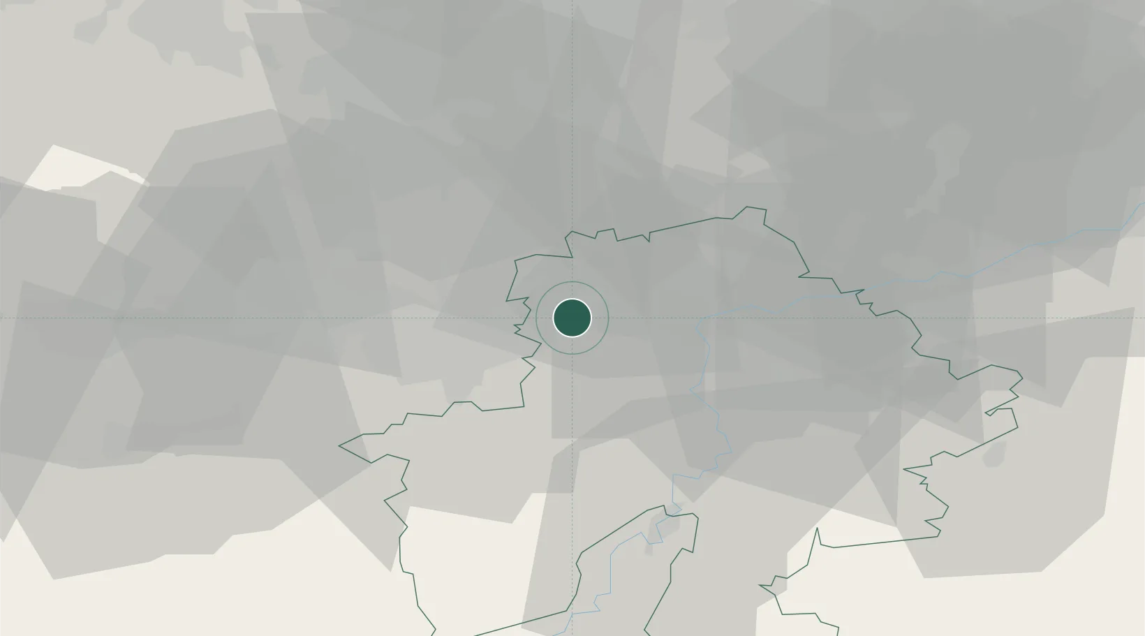
Jemeppe-sur-Sambre
50.4667°, 4.6667°
6,127
Population
2
Transport functions
Transport Functions
Port
Road
Hub Profile
Place type
Populated place
Region
Wallonia
Population
6,127
Time zone
Europe/Brussels
Elevation
95 m
Location
Nearby Logistics Neighbours
Cities
- 1Mornimont3 km
- 2Ham-sur-Sambre4 km
- 3Auvelais4 km
- 4Franière6 km
- 5Tamines6 km
Airports
- 1Brussels South Charleroi Airport15 km
- 2Florennes Air Base25 km
- 3Beauvechain Air Base33 km
- 4Brussels Airport50 km
- 5Liège Airport58 km
Trade Zones
DatabookThe Record of Consolidated Knowledge
Belgium beyond logistics?