Transport Functions
Port
Road
Hub Profile
Place type
Local administrative seat
Region
Flanders
Population
37,000
Time zone
Europe/Brussels
Elevation
29 m
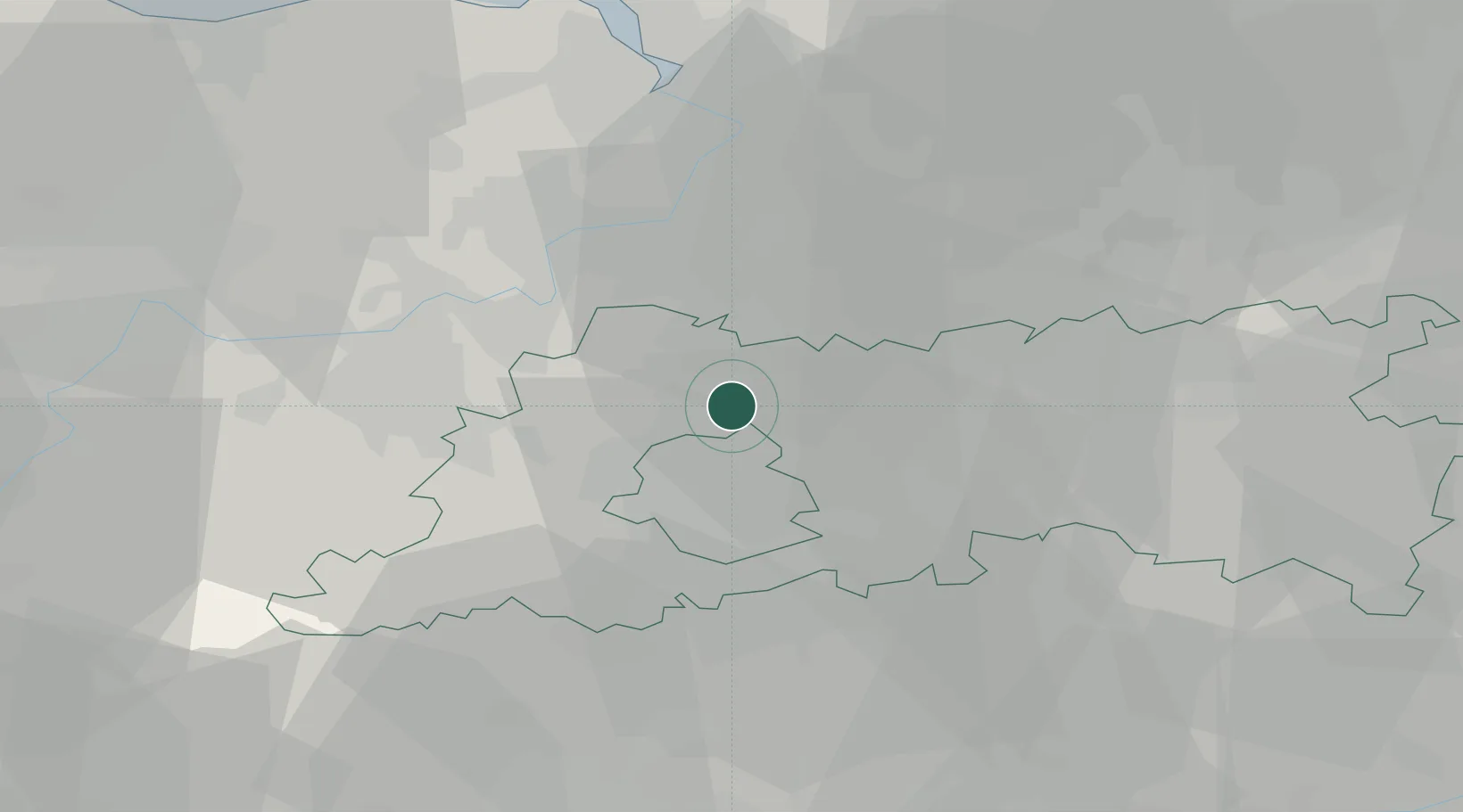
Location
Nearby Logistics Neighbours
Cities
- 1Verbrande Brug3 km
- 2Vilvoorde4 km
- 3Neder-Over-Heembeek4 km
- 4Humbeek4 km
- 5Brussel (Bruxelles)6 km
Airports
Trade Zones
DatabookThe Record of Consolidated Knowledge
Belgium beyond logistics?