Transport Functions
Port
Road
Hub Profile
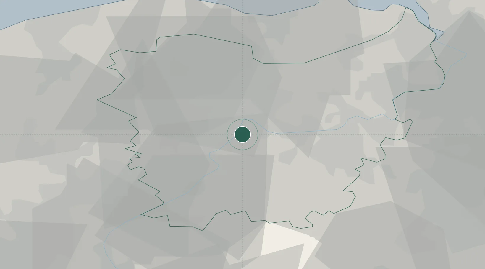
Place type
Local administrative seat
Region
Flanders
Population
16,684
Time zone
Europe/Brussels
Elevation
12 m
Location
Nearby Logistics Neighbours
Cities
- 1Zwijnaarde2 km
- 2Melle4 km
- 3Ledeberg4 km
- 4Schelderode4 km
- 5Melsen5 km
Ports
- 1Ghent8 km
- 2Terneuzen39 km
- 3Bruxelles45 km
- 4Bruges45 km
- 5Vlissingen51 km
Airports
Trade Zones
DatabookThe Record of Consolidated Knowledge
Belgium beyond logistics?