UN/LOCODE hub · Belgium
BELNY

Lanaye (Ternaaien)

50.7833°, 5.6833°
2
Transport functions

Transport Functions

Port
Road
UN/LOCODE

Hub Profile

Region
WLG
GeoNames

Location

Location of BELNY
Natural Earth 10m (public domain) · WLG · BELNY · 50.78, 5.68GoogleOSMYandex

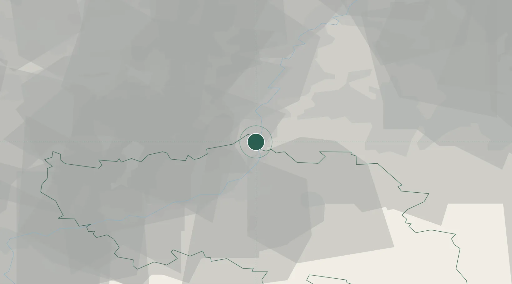
Nearby Logistics Neighbours

Cities
  1. 1Petit-Lanaye0 km
  2. 2Eben-Emael2 km
  3. 3Canne (Kanne)4 km
  4. 4Maasmechelen4 km
  5. 5Lixhe4 km
Nearest neighbours — logibook spatial index (haversine) over the source coordinates
Ports
  1. 1Bruxelles94 km
  2. 2Antwerpen102 km
  3. 3Dordrecht136 km
  4. 4Hansweert139 km
  5. 5Ghent140 km
Nearest neighbours — logibook spatial index (haversine) over the source coordinates
Airports
  1. 1Maastricht Aachen Airport15 km
  2. 2Liège Airport23 km
  3. 3Geilenkirchen Air Base32 km
  4. 4Kleine Brogel Air Base45 km
  5. 5Kempen Airport Budel53 km
Nearest neighbours — logibook spatial index (haversine) over the source coordinates
Trade Zones
  1. 1Rheinische Revier SWZ51 km
  2. 2Freeport of Duisburg97 km
  3. 3Luxembourg Free Port133 km
  4. 4ZFU Ronde Couture134 km
  5. 5ZFU Maubeuge, Louvroil137 km
Nearest neighbours — logibook spatial index (haversine) over the source coordinates
DatabookThe Record of Consolidated Knowledge
Belgium beyond logistics?
Browse databook

All Sources

LocationsUN/LOCODE
UN/LOCODE — free
Portsthe NGA World Port Index
Public domain (US gov)
AirportsOurAirports
Public domain
Trade Zonesthe World Bank SEZ database
CC BY 4.0
Trade ZonesOpen Zone Map
CC BY
← Belgium locations