Transport Functions
Port
Road
Hub Profile
Place type
Populated place
Region
Wallonia
Time zone
Europe/Brussels
Elevation
121 m
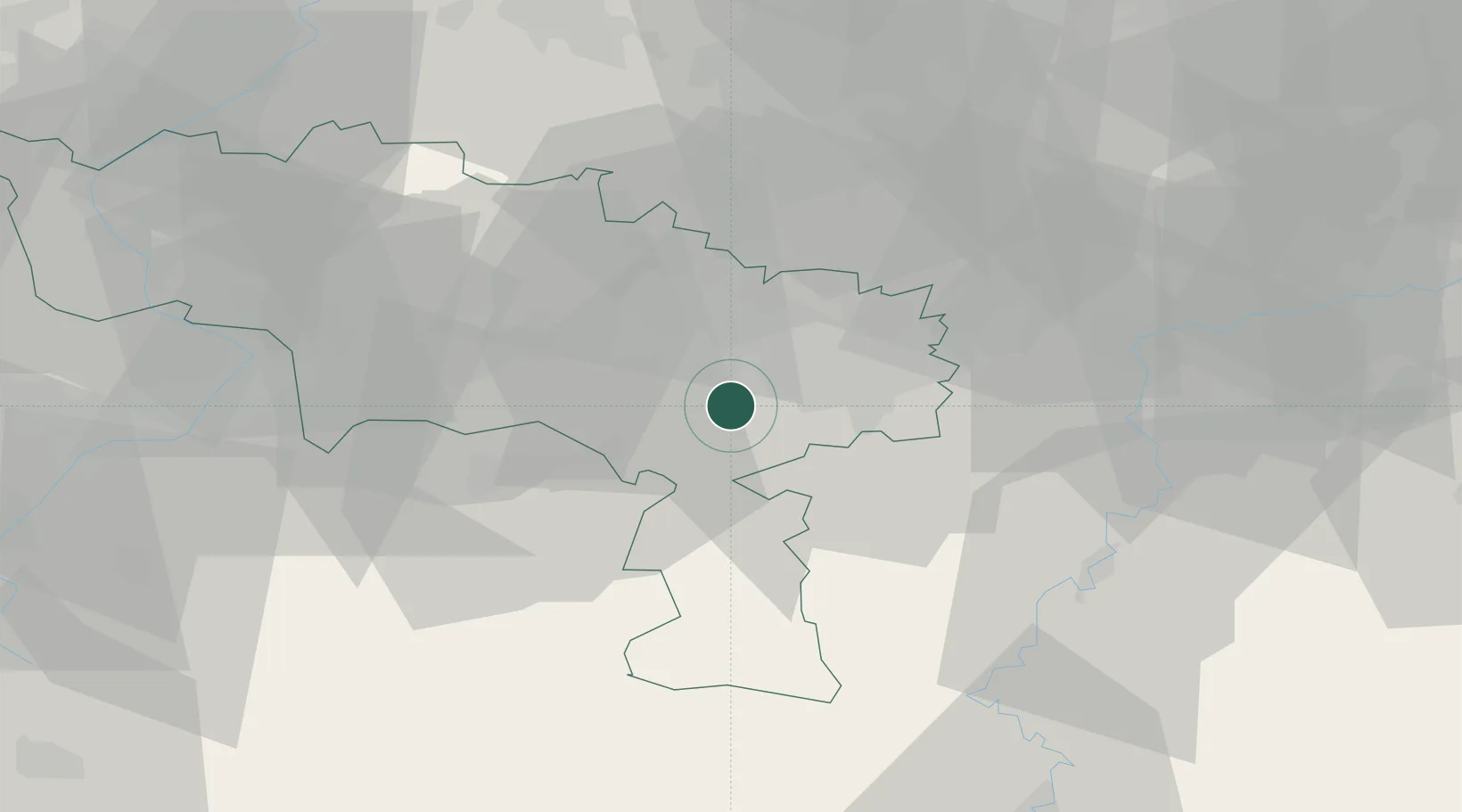
Location
Nearby Logistics Neighbours
Cities
- 1Lobbes3 km
- 2Thuin4 km
- 3Landelies5 km
- 4Marchienne-au-Pont8 km
- 5Monceau-sur-Sambre8 km
Airports
- 1Brussels South Charleroi Airport16 km
- 2Florennes Air Base29 km
- 3Chièvres Air Base40 km
- 4Beauvechain Air Base55 km
- 5Valenciennes-Denain Airfield59 km
DatabookThe Record of Consolidated Knowledge
Belgium beyond logistics?