Transport Functions
Multimodal
Hub Profile
Place type
Populated place
Region
Flanders
Time zone
Europe/Brussels
Elevation
9 m
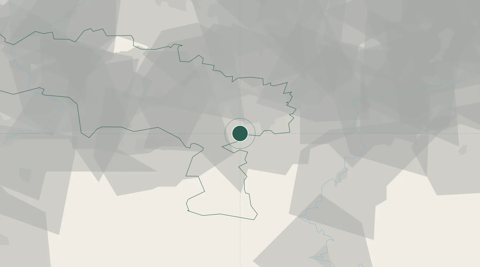
Location
Nearby Logistics Neighbours
Cities
- 1Thuin6 km
- 2Landelies8 km
- 3Hourpes8 km
- 4Lobbes9 km
- 5Marchienne-au-Pont9 km
Airports
DatabookThe Record of Consolidated Knowledge
Belgium beyond logistics?