Transport Functions
Road
Multimodal
Hub Profile
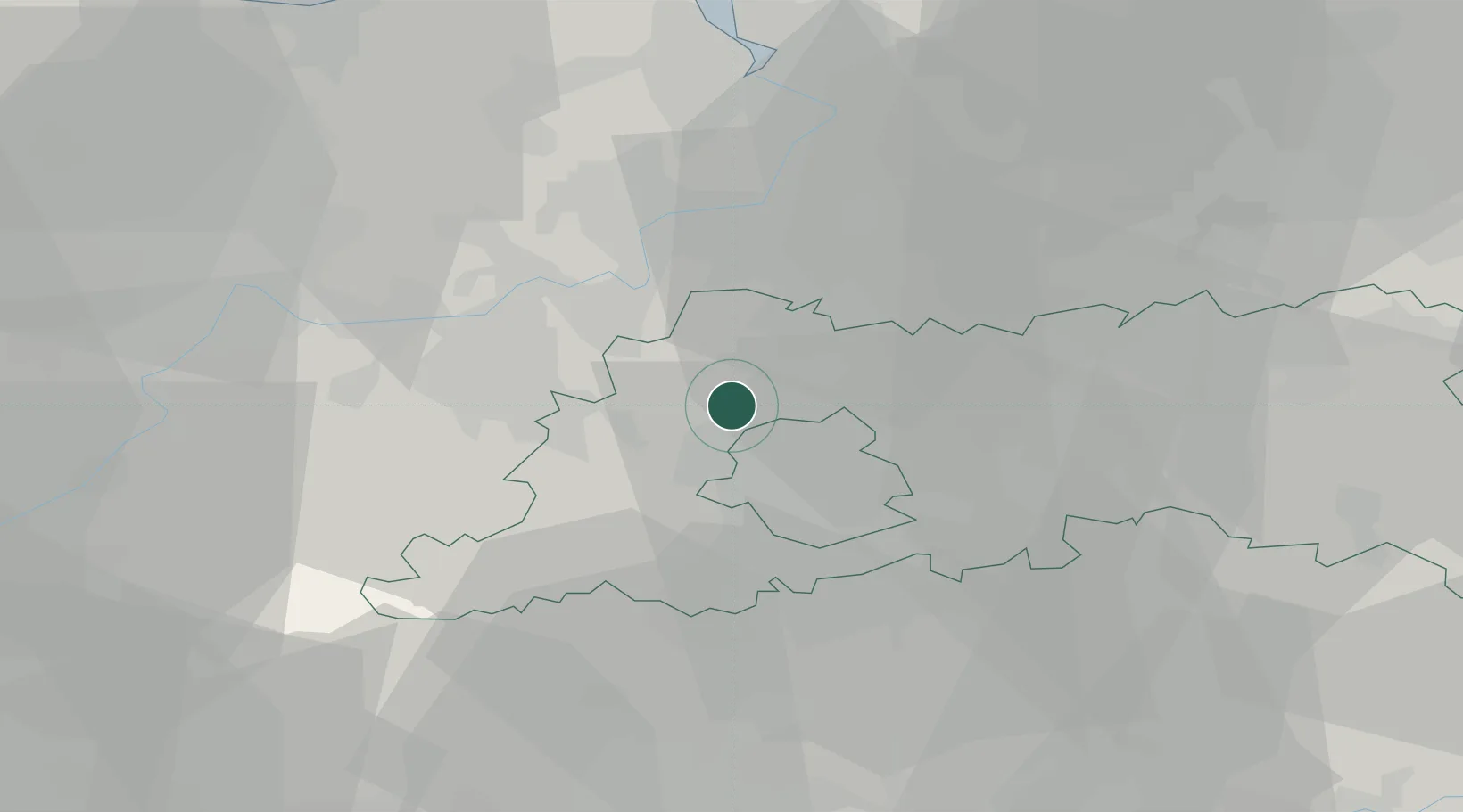
Place type
Populated place
Region
Flanders
Population
839
Time zone
Europe/Brussels
Elevation
52 m
Location
Nearby Logistics Neighbours
Cities
- 1Mollem4 km
- 2Groot Bijgaarden6 km
- 3Jette/Brussel (Bruxelles)6 km
- 4Grimbergen7 km
- 5Neder-Over-Heembeek7 km
Airports
Trade Zones
DatabookThe Record of Consolidated Knowledge
Belgium beyond logistics?