Transport Functions
Port
Road
Hub Profile
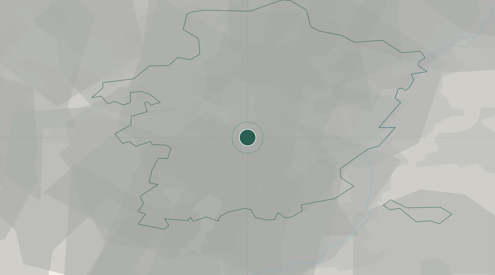
Place type
Populated place
Region
Flanders
Time zone
Europe/Brussels
Elevation
34 m
Location
Nearby Logistics Neighbours
Cities
- 1Hasselt4 km
- 2Diepenbeek4 km
- 3Kuringen6 km
- 4Winterslag7 km
- 5Genk8 km
Airports
- 1Kleine Brogel Air Base27 km
- 2Maastricht Aachen Airport27 km
- 3Liège Airport33 km
- 4Kempen Airport Budel39 km
- 5Geilenkirchen Air Base46 km
Trade Zones
- 1Rheinische Revier SWZ70 km
- 2Freeport of Duisburg102 km
- 3ZFU Maubeuge, Louvroil127 km
- 4ZFU Condé sur lEscaut138 km
- 5ZFU Ronde Couture140 km
DatabookThe Record of Consolidated Knowledge
Belgium beyond logistics?