Transport Functions
Port
Road
Hub Profile
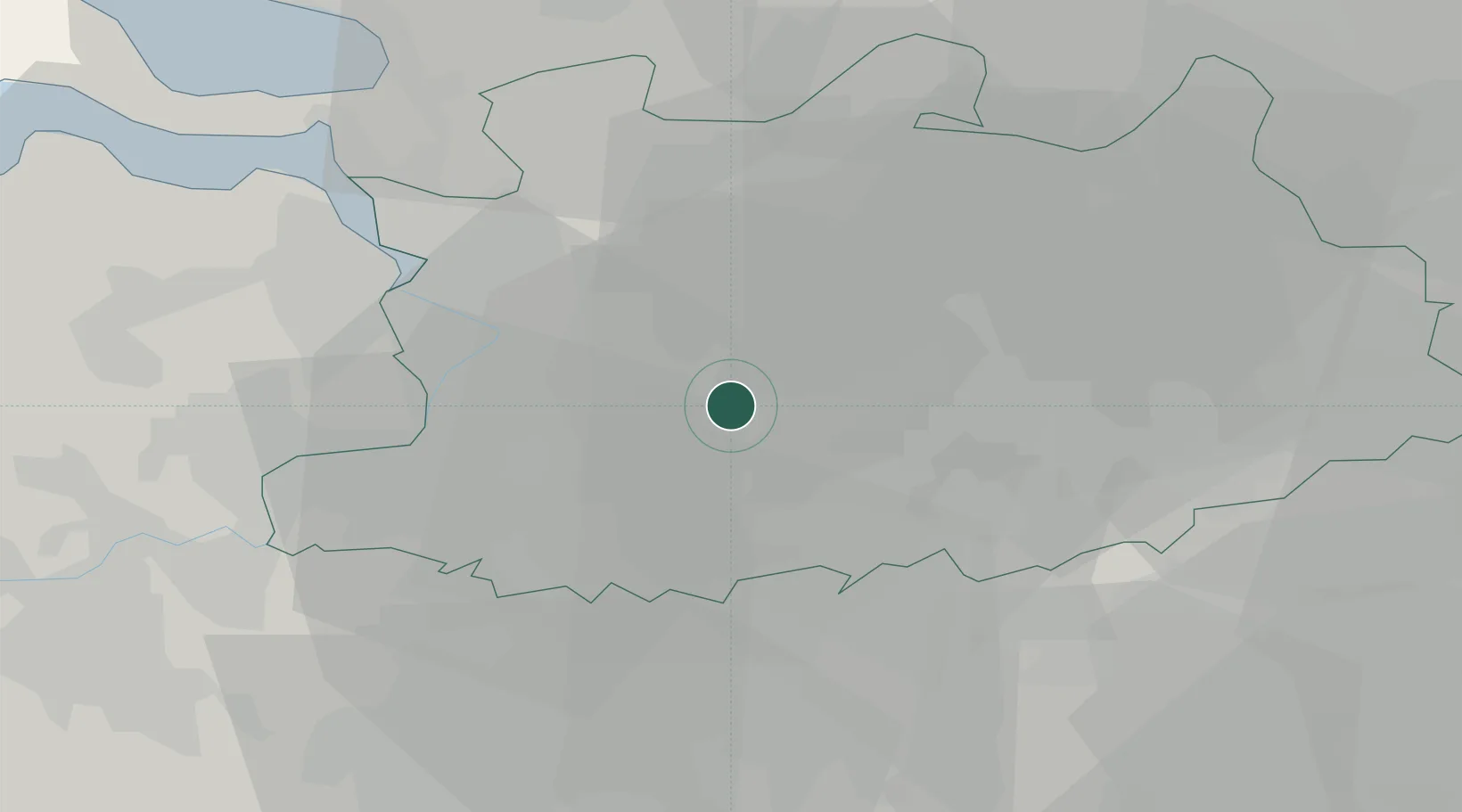
Place type
Populated place
Region
Flanders
Population
3,796
Time zone
Europe/Brussels
Elevation
8 m
Location
Nearby Logistics Neighbours
Cities
- 1Viersel3 km
- 2Nijlen4 km
- 3Massenhoven4 km
- 4Lier4 km
- 5Oelegem6 km
Airports
- 1Antwerp International Airport (Deurne)10 km
- 2Brussels Airport31 km
- 3Woensdrecht Air Base36 km
- 4Beauvechain Air Base47 km
- 5Gilze Rijen Air Base50 km
Trade Zones
- 1ZFU Condé sur lEscaut106 km
- 2ZFU Maubeuge, Louvroil111 km
- 3ZFU Tourcoing112 km
- 4ZFU Hem et Roubaix114 km
- 5ZFU de Lille et de Loos126 km
DatabookThe Record of Consolidated Knowledge
Belgium beyond logistics?