Transport Functions
Port
Rail
Road
Hub Profile
Place type
Populated place
Region
Flanders
Population
11,570
Time zone
Europe/Brussels
Elevation
10 m
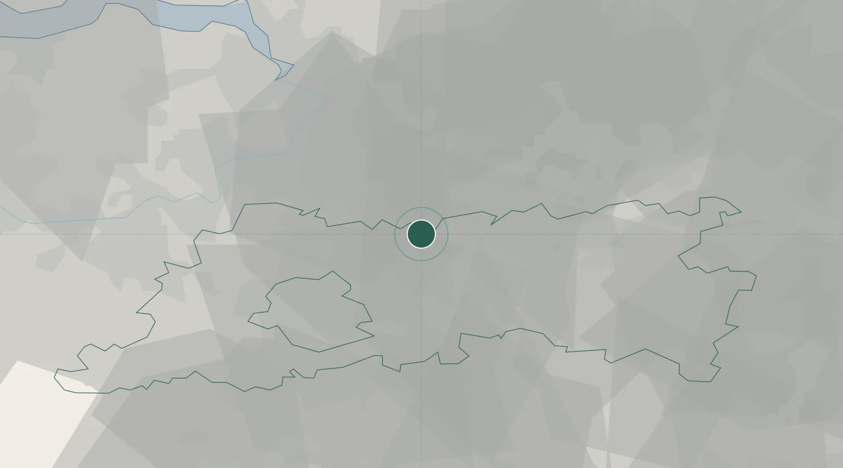
Location
Nearby Logistics Neighbours
Cities
- 1Hever2 km
- 2Kampenhout4 km
- 3Muizen5 km
- 4Tildonk6 km
- 5Zemst7 km
Airports
Trade Zones
- 1ZFU Condé sur lEscaut90 km
- 2ZFU Maubeuge, Louvroil92 km
- 3ZFU Tourcoing103 km
- 4ZFU Hem et Roubaix104 km
- 5ZFU Denain, Douchy-les-Mines, Escaudain et Lourches112 km
DatabookThe Record of Consolidated Knowledge
Belgium beyond logistics?