Transport Functions
Rail
Road
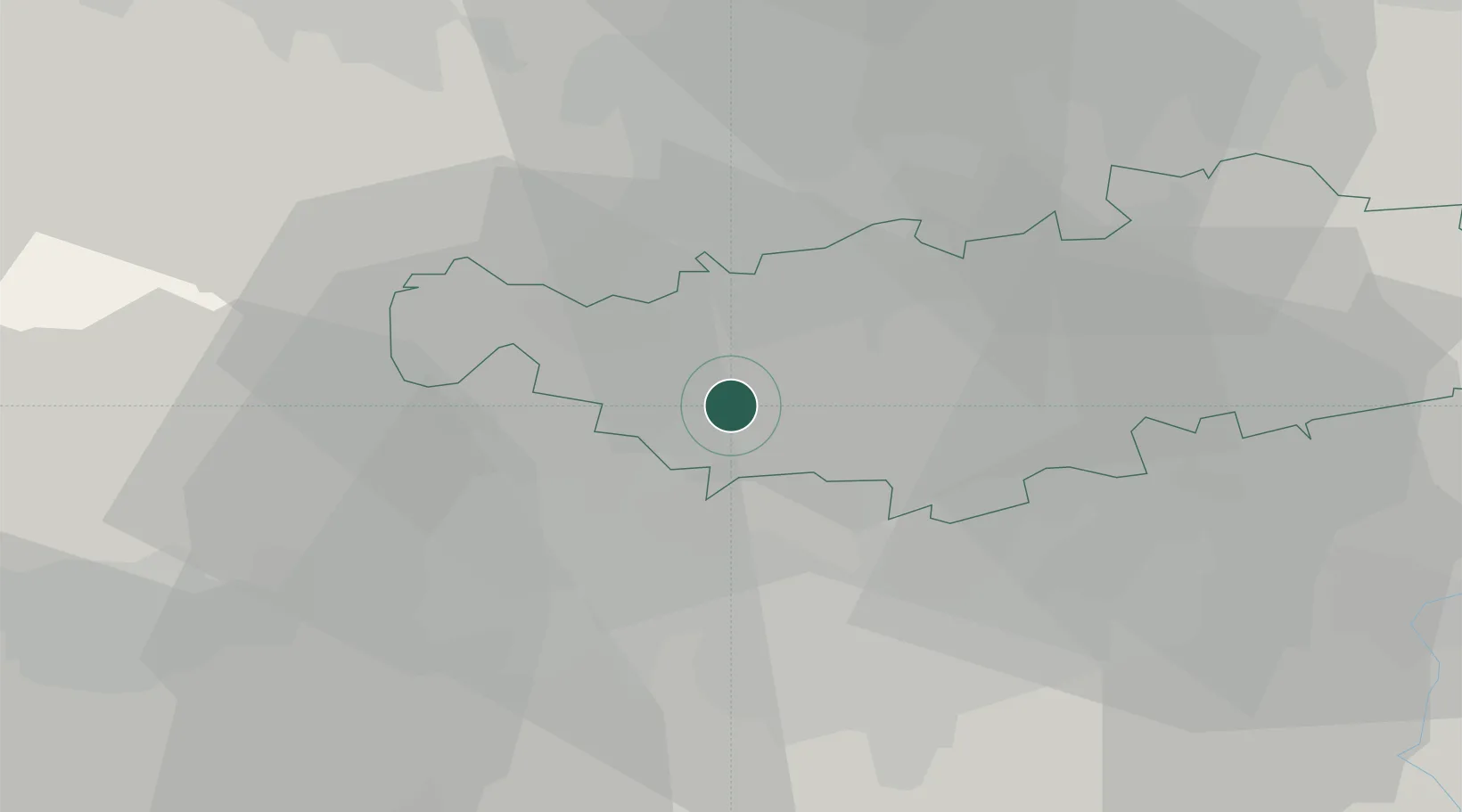
Hub Profile
Place type
Populated place
Region
Wallonia
Population
342
Time zone
Europe/Brussels
Elevation
126 m
Location
Nearby Logistics Neighbours
Cities
- 1Nivelles2 km
- 2Lillois-Witterzée4 km
- 3Vieux-Genappe6 km
- 4Itter (Ittre)7 km
- 5Ways7 km
Airports
- 1Brussels South Charleroi Airport19 km
- 2Brussels Airport33 km
- 3Beauvechain Air Base33 km
- 4Chièvres Air Base37 km
- 5Florennes Air Base47 km
Trade Zones
DatabookThe Record of Consolidated Knowledge
Belgium beyond logistics?