Export Processing Zone · Bangladesh

Adamjee Export Processing Zone Active
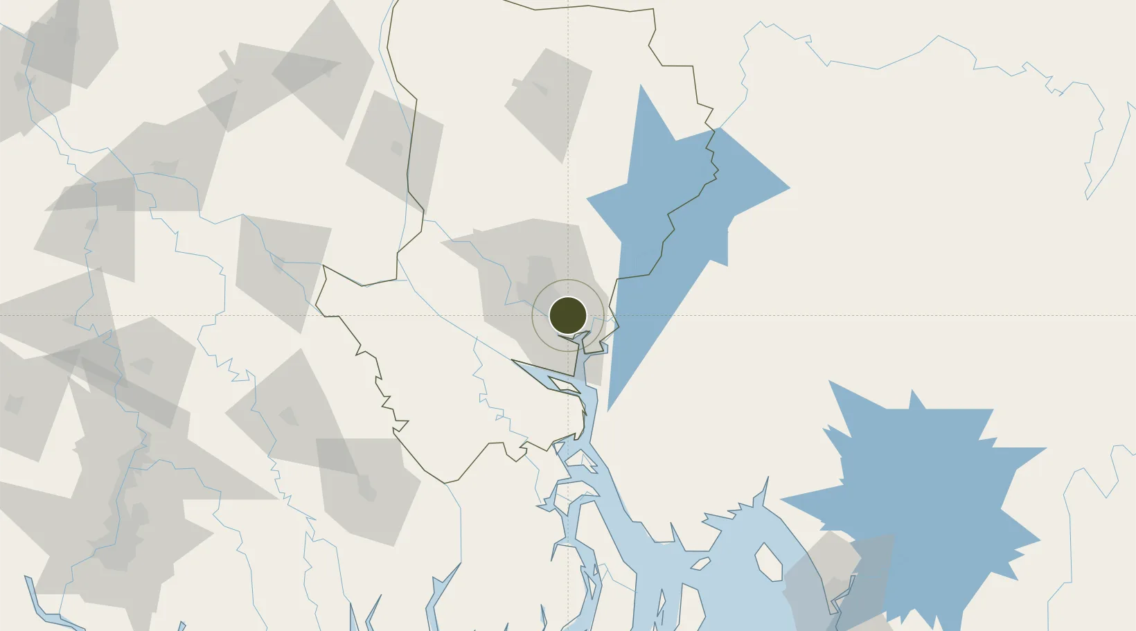
23.6783°, 90.5242°
18 ha
Zone area
164.6 km
Nearest port
22.4 km
Nearest airport

Gateway access

Nearest neighbours — logibook spatial index (haversine) over the source coordinates

Zone profile

Zone type
Export Processing Zone
the World Bank SEZ database
Region
Dhaka
the World Bank SEZ database
Status
Active
the World Bank SEZ database
Established
2005
the World Bank SEZ database
Management
Public agency
the World Bank SEZ database
Operator
BEPZA
the World Bank SEZ database
Regulatory authority
Bangladesh Export Processing Zones Authority (BEPZA)
the World Bank SEZ database
Legal framework
Bangladesh Export Processing Zone Act
the World Bank SEZ database

Location

Location of BGD1
Natural Earth 10m (public domain) · Dhaka · BGD1 · 23.68, 90.52GoogleOSMYandex

Fiscal & incentives

Corporate tax
25%
the World Bank SEZ database
Tax relief
100% exempt
the World Bank SEZ database
Relief duration
3 years
the World Bank SEZ database
VAT
No exemption
the World Bank SEZ database
Import duty (inputs)
100% exempt
the World Bank SEZ database
Import duty (capex)
100% exempt
the World Bank SEZ database
Profit repatriation
100% exempt from repatriation tax on capital and dividends
the World Bank SEZ database
Capital gains
No exemption
the World Bank SEZ database
Withholding tax
100% exempt from dividend tax
the World Bank SEZ database
Min. investment
None
the World Bank SEZ database
Min. export
90%
the World Bank SEZ database
Employment incentive
No exemption
the World Bank SEZ database
Developer incentive
No established framework
the World Bank SEZ database

Nearby Logistics Neighbours

Ports
  1. 1Mongla165 km
  2. 2Chittagong201 km
  3. 3Calcutta257 km
  4. 4Haldia Port311 km
  5. 5Sittwe464 km
Nearest neighbours — logibook spatial index (haversine) over the source coordinates
Airports
  1. 1Hazrat Shahjalal International Airport22 km
  2. 2Agartala - Maharaja Bir Bikram Airport77 km
  3. 3Barisal Airport100 km
  4. 4Jessore Airport150 km
  5. 5Ishurdi Airport159 km
Nearest neighbours — logibook spatial index (haversine) over the source coordinates
Cities
  1. 1Pangaon8 km
  2. 2Munshiganj12 km
  3. 3Narayanganj12 km
  4. 4Panchashar13 km
  5. 5Tejgaon16 km
Nearest neighbours — logibook spatial index (haversine) over the source coordinates
Trade Zones
  1. 1Narayanganj Economic Zone6 km
  2. 2Meghna Industrial Economic Zone7 km
  3. 3Narayanganj Economic Zone, Sonargaon7 km
  4. 4Sonargaon Economic Zone9 km
  5. 5Aman Economic Zone11 km
Nearest neighbours — logibook spatial index (haversine) over the source coordinates
DatabookThe Record of Consolidated Knowledge
Bangladesh beyond logistics?
Browse databook

All Sources

Trade Zonesthe World Bank SEZ database
CC BY 4.0
Portsthe NGA World Port Index
Public domain (US gov)
AirportsOurAirports
Public domain
LocationsUN/LOCODE
UN/LOCODE — free
← Bangladesh trade zones