Transport Functions
Port
Fixed Transport
Hub Profile
Region
WA
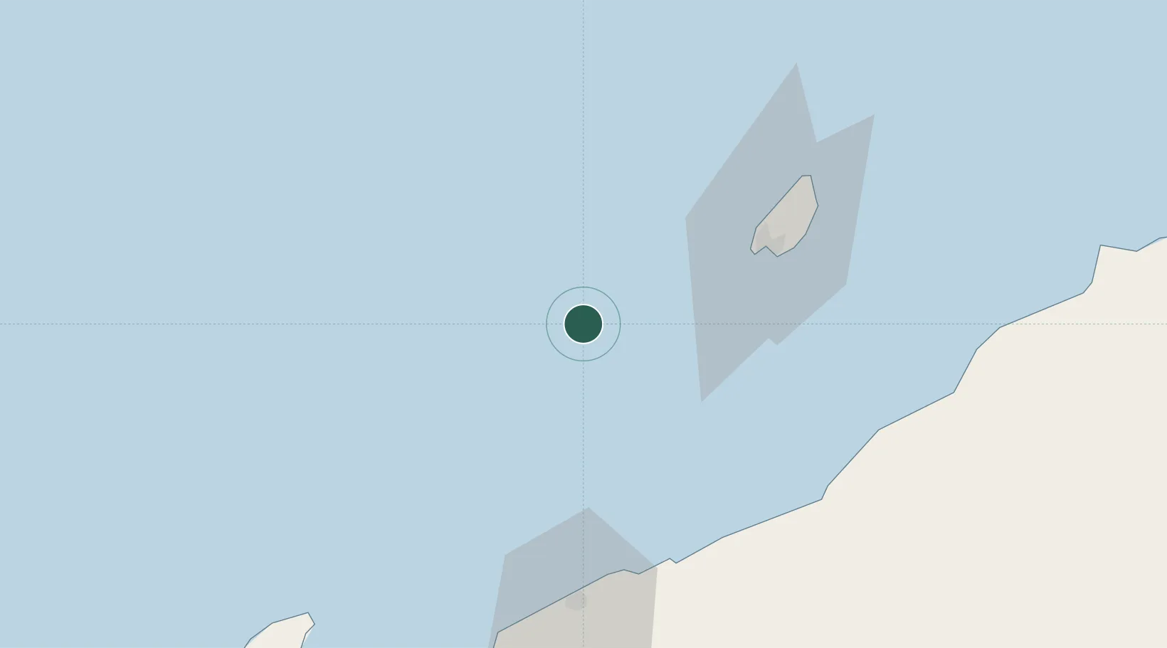
Location
Nearby Logistics Neighbours
Cities
- 1Griffin Venture (oil Terminal)31 km
- 2Airlie Terminal44 km
- 3Thevenard Island46 km
- 4Onslow71 km
- 5Ashburton72 km
Ports
- 1Onslow71 km
- 2Dampier198 km
- 3Port Walcott245 km
- 4Cape Cuvier384 km
- 5Port Hedland395 km
Airports
- 1Learmonth Airport154 km
- 2Karratha Airport202 km
- 3Eliwana259 km
- 4Paraburdoo Airport379 km
- 5Port Hedland International Airport398 km
Trade Zones
- 1KEK Mandalika1360 km
- 2KEK Singhasari1484 km
- 3Pasuruan Industrial Estate Rembang1511 km
- 4Ngoro Industrial Park1519 km
- 5Safe N Lock Industrial Estate1528 km
DatabookThe Record of Consolidated Knowledge
Australia beyond logistics?