UN/LOCODE hub · Australia
AUGRV
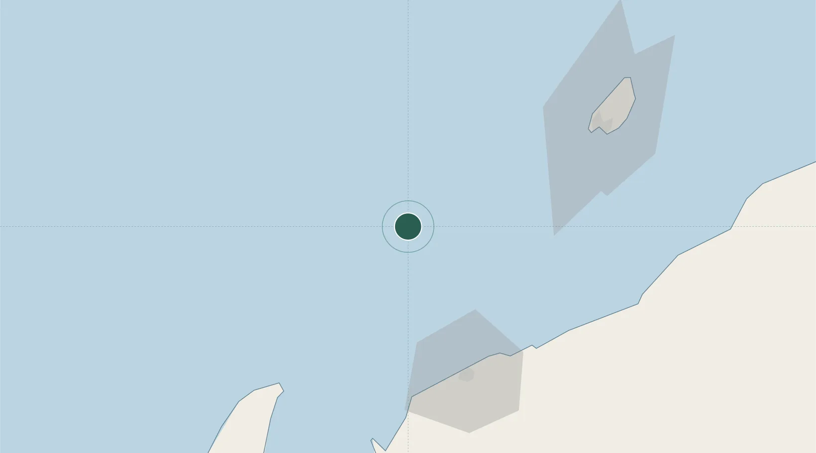
Griffin Venture (oil Terminal)
-21.2167°, 114.6333°
1
Transport functions
Transport Functions
Port
Hub Profile
Region
WA
Location
Nearby Logistics Neighbours
Cities
- 1Woollybutt (Oil facility)31 km
- 2Thevenard Island45 km
- 3Airlie Terminal57 km
- 4Ningaloo Vision61 km
- 5Van Gogh Terminal61 km
Ports
- 1Onslow68 km
- 2Dampier226 km
- 3Port Walcott272 km
- 4Cape Cuvier357 km
- 5Port Hedland423 km
Airports
- 1Learmonth Airport126 km
- 2Karratha Airport229 km
- 3Eliwana269 km
- 4Paraburdoo Airport387 km
- 5Carnarvon Airport420 km
Trade Zones
- 1KEK Mandalika1382 km
- 2KEK Singhasari1498 km
- 3Pasuruan Industrial Estate Rembang1526 km
- 4Ngoro Industrial Park1534 km
- 5Safe N Lock Industrial Estate1543 km
DatabookThe Record of Consolidated Knowledge
Australia beyond logistics?