Medium airport · Australia
Learmonth AirportYPLM
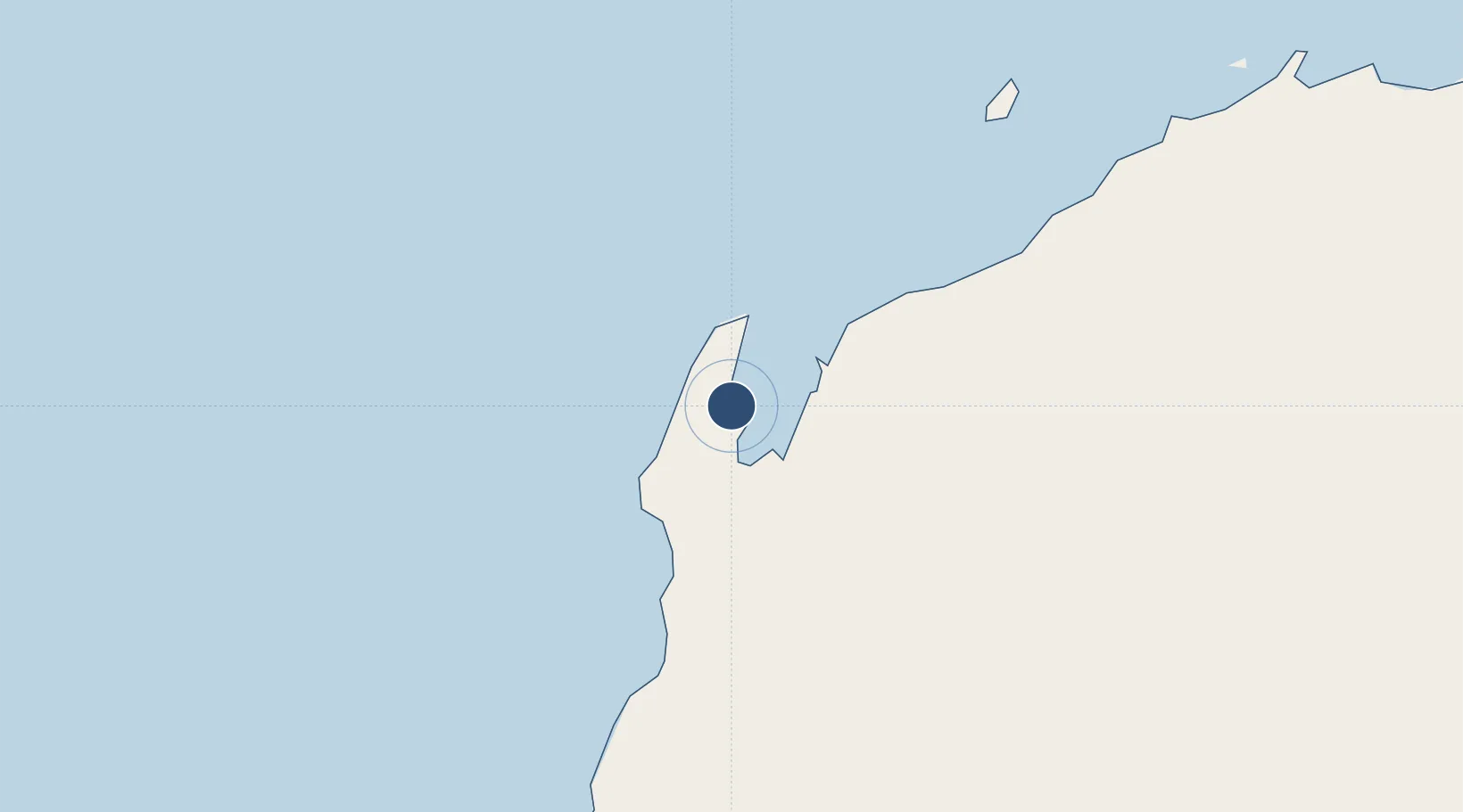
-22.2352°, 114.0900°
9,997 ft
Longest runway
1
Runways
19 ft
Elevation
Runway & Layout

Radio Frequencies
TWR
25.78 MHz
GND
25.93 MHz
APP
120.5 MHz
CTAF
118.3 MHz
FSS
125.9 MHz
MELBOURNE CNTR
Navaids
LM VOR-DME Learmonth 112.40 MHz
LM NDB Learmonth 396 kHz
Runways · 1
| Runway | Dimensions | Surface | True heading | Lit |
|---|---|---|---|---|
| 18/36 | 9,997 × 148ft | Asphalt | 184° | ✓ |
Airport Specifications
IATA code
LEA
ICAO code
YPLM
Airport class
Medium airport
Scheduled service
Yes
Runway surface
Asphalt
Served city
Exmouth
Location
Nearby Logistics Neighbours
Airports
- 1Eliwana289 km
- 2Carnarvon Airport298 km
- 3Karratha Airport325 km
- 4Paraburdoo Airport389 km
- 5Shark Bay Airport411 km
Cities
- 1Nganhurra84 km
- 2Ningaloo Vision93 km
- 3Van Gogh Terminal93 km
- 4Coral Bay105 km
- 5Ashburton112 km
Ports
- 1Onslow123 km
- 2Cape Cuvier232 km
- 3Dampier325 km
- 4Port Walcott366 km
- 5Useless Loop434 km
Trade Zones
- 1KEK Mandalika1502 km
- 2KEK Singhasari1604 km
- 3Pasuruan Industrial Estate Rembang1632 km
- 4Ngoro Industrial Park1639 km
- 5Safe N Lock Industrial Estate1649 km
DatabookThe Record of Consolidated Knowledge
Australia beyond logistics?