UN/LOCODE hub · Australia
AUASB

Ashburton

-21.6833°, 115.0000°
7,952
Population
2
Transport functions

Transport Functions

Port
Road
UN/LOCODE

Hub Profile

Place type
Urban district
GeoNames
Region
Victoria
GeoNames
Population
7,952
GeoNames
Time zone
Australia/Melbourne
GeoNames
Elevation
68 m
GeoNames

Location

Location of AUASB
Natural Earth 10m (public domain) · Victoria · AUASB · -21.68, 115.00GoogleOSMYandex

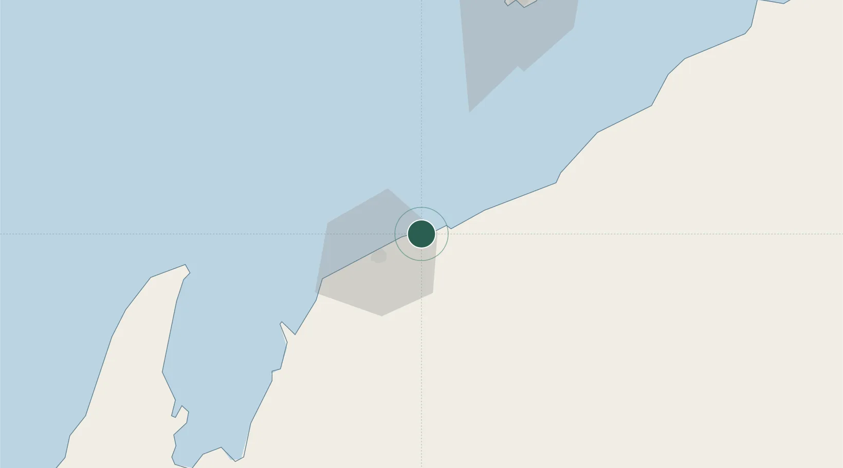
Nearby Logistics Neighbours

Cities
  1. 1Onslow11 km
  2. 2Thevenard Island26 km
  3. 3Airlie Terminal43 km
  4. 4Griffin Venture (oil Terminal)64 km
  5. 5Woollybutt (Oil facility)72 km
Nearest neighbours — logibook spatial index (haversine) over the source coordinates
Ports
  1. 1Onslow11 km
  2. 2Dampier213 km
  3. 3Port Walcott254 km
  4. 4Cape Cuvier327 km
  5. 5Port Hedland402 km
Nearest neighbours — logibook spatial index (haversine) over the source coordinates
Airports
  1. 1Learmonth Airport112 km
  2. 2Eliwana212 km
  3. 3Karratha Airport213 km
  4. 4Paraburdoo Airport327 km
  5. 5Carnarvon Airport381 km
Nearest neighbours — logibook spatial index (haversine) over the source coordinates
Trade Zones
  1. 1KEK Mandalika1429 km
  2. 2KEK Singhasari1555 km
  3. 3Pasuruan Industrial Estate Rembang1583 km
  4. 4Ngoro Industrial Park1591 km
  5. 5Safe N Lock Industrial Estate1600 km
Nearest neighbours — logibook spatial index (haversine) over the source coordinates
DatabookThe Record of Consolidated Knowledge
Australia beyond logistics?
Browse databook

All Sources

LocationsUN/LOCODE
UN/LOCODE — free
LocationsGeoNames
CC BY 4.0
Portsthe NGA World Port Index
Public domain (US gov)
AirportsOurAirports
Public domain
Trade Zonesthe World Bank SEZ database
CC BY 4.0
Trade ZonesOpen Zone Map
CC BY
← Australia locations