UN/LOCODE hub · Australia
AUSMR

Seventeen Mile Rocks/Brisbane

-27.5500°, 152.9500°
2
Transport functions

Transport Functions

Port
Multimodal
UN/LOCODE

Hub Profile

Region
QLD
GeoNames

Location

Location of AUSMR
Natural Earth 10m (public domain) · QLD · AUSMR · -27.55, 152.95GoogleOSMYandex

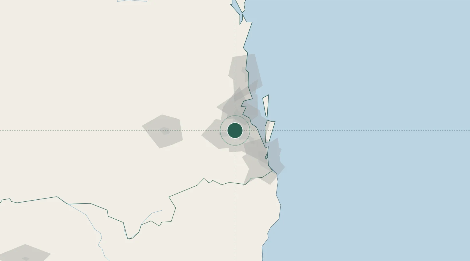
Nearby Logistics Neighbours

Cities
  1. 1Sumner Park3 km
  2. 2Fig Tree Pocket4 km
  3. 3Kenmore4 km
  4. 4Rocklea7 km
  5. 5Archerfield7 km
Nearest neighbours — logibook spatial index (haversine) over the source coordinates
Ports
  1. 1Brisbane12 km
  2. 2Ballina158 km
  3. 3Bundaberg304 km
  4. 4Gladstone445 km
  5. 5Port Alma489 km
Nearest neighbours — logibook spatial index (haversine) over the source coordinates
Airports
  1. 1Brisbane International Airport25 km
  2. 2RAAF Base Amberley25 km
  3. 3Gold Coast Airport88 km
  4. 4Sunshine Coast Airport107 km
  5. 5Toowoomba Wellcamp Airport114 km
Nearest neighbours — logibook spatial index (haversine) over the source coordinates
Trade Zones
  1. 1Latrobe Valley Economic Growth Zone1336 km
  2. 2Vanuatu Economic Development Zone1986 km
  3. 3Paga Hill Estate Special Economic Zone2099 km
  4. 4Tulagi Island Special Economic Zone2186 km
  5. 5Ihu Special Economic Zone2326 km
Nearest neighbours — logibook spatial index (haversine) over the source coordinates
DatabookThe Record of Consolidated Knowledge
Australia beyond logistics?
Browse databook

All Sources

LocationsUN/LOCODE
UN/LOCODE — free
Portsthe NGA World Port Index
Public domain (US gov)
AirportsOurAirports
Public domain
Trade Zonesthe World Bank SEZ database
CC BY 4.0
Trade ZonesOpen Zone Map
CC BY
← Australia locations